


29 km | 38 km-effort
Piémont : découvrez les meilleures randonnées : 7 vélo, 2 vélo de route, 28 v.t.t., 1 v.t.c., 1 cyclotourisme et 1 vélo électrique. Tous ces circuits, parcours, itinéraires et activités en plein air sont disponibles dans nos applications SityTrail pour smartphones et tablettes.

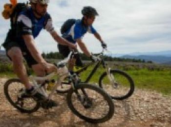
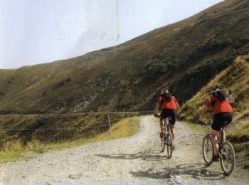
V.T.T.


• More information on GPStracks.nl : http://www.gpstracks.nl
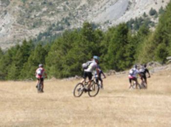
V.T.T.
• Grande Traversée VTT L’Alpes-Provence « L’Alpes-Provence », est une traversée unique (en 1 semaine) des Alpes de Haut...
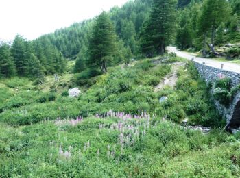
V.T.T.
• Cet itinéraire part du col de l'Arche pour rejoindre le Lac de Serre-Ponçon, via Barcelonnette. J'ai réalisé ce parco...
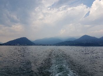
V.T.T.
• Vous allez progresser dans des paysages splendides à plus de 2000 m d'altitude à cheval sur la frontière franco itali...

V.T.T.
Vélo

V.T.T.
• Espace VTT - FFC Haute Roya Circuit labellisé par la Fédération Française de Cyclisme. Départ du col de Tende pour ar...
V.T.T.
• Espace VTT - FFC Haute Roya Circuit labellisé par la Fédération Française de Cyclisme. Ce parcours descendant est cer...
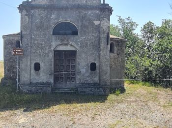
Cyclotourisme
• Projet
V.T.T.
V.T.T.
V.T.T.
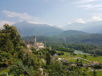
• bra, Italie 3
V.T.T.
• bra
V.T.T.
• italie
V.T.T.
• Parcours complet
Vélo
V.T.T.
• Tronçons 1,2,3 / Col de Larche - Barcelonnette / Gite Tranquyl
Vélo
• More information on GPStracks.nl : http://www.gpstracks.nl
Vélo
• More information on GPStracks.nl : http://www.gpstracks.nl
V.T.T.
• More information on GPStracks.nl : http://www.gpstracks.nl
20 randonnées affichées sur 39
Application GPS de randonnée GRATUITE
 SityTrail
IGN / Instituts géographiques
SityTrail World
Le monde est à vous