


66 km | 87 km-effort
Guéret : découvrez les meilleures randonnées : 11 v.t.t.. Tous ces circuits, parcours, itinéraires et activités en plein air sont disponibles dans nos applications SityTrail pour smartphones et tablettes.
V.T.T.


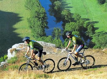
• Départ du Centre équestre. Boucle longue 85km. Difficile, à moduler. Peu de routes. Voir le détail pour 2 ou 3 a/r à ...
V.T.T.
• Espace VTT FFC des Monts de Guéret. Circuit labellisé par la Fédération Française de Cyclisme. La Grande Boucle - Dép...
V.T.T.
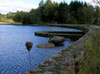
• Espace VTT FFC des Monts de Guéret. Circuit labellisé par la Fédération Française de Cyclisme. Au départ du plan d’ea...
V.T.T.
• Espace VTT FFC des Monts de Guéret. Circuit labellisé par la Fédération Française de Cyclisme. Au départ du plan d’ea...
V.T.T.
• Espace VTT FFC des Monts de Guéret. Circuit labellisé par la Fédération Française de Cyclisme. Au départ du plan d’ea...
V.T.T.
• Espace VTT FFC des Monts de Guéret. Circuit labellisé par la Fédération Française de Cyclisme. Au départ de l’IRFJS d...

V.T.T.
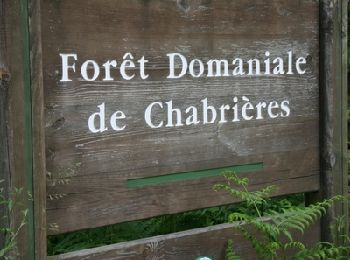
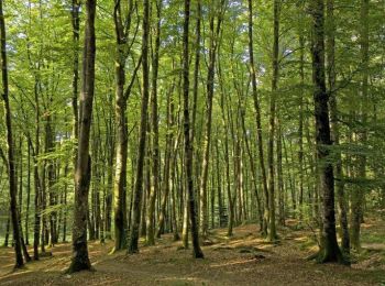
• Espace VTT FFC des Monts de Guéret. Circuit labellisé par la Fédération Française de Cyclisme. Blottis entre la ville...
V.T.T.
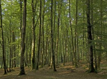
• Espace VTT FFC des Monts de Guéret. Circuit labellisé par la Fédération Française de Cyclisme. Blottis entre la ville...

V.T.T.
V.T.T.
V.T.T.
11 randonnées affichées sur 11
Application GPS de randonnée GRATUITE
 SityTrail
IGN / Instituts géographiques
SityTrail World
Le monde est à vous