


28 km | 30 km-effort
Rochefort : découvrez les meilleures randonnées : 2 vélo, 8 v.t.t., 8 v.t.c., 3 cyclotourisme et 3 vélo électrique. Tous ces circuits, parcours, itinéraires et activités en plein air sont disponibles dans nos applications SityTrail pour smartphones et tablettes.
Vélo


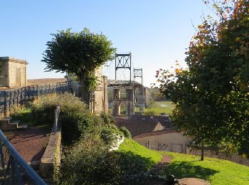
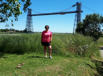
• Boucle à faire en vélo (VTC, VTT ou Cyclotourisme) ou même à pied, pour découvrir 3 ponts historiques, fermés à la ci...
V.T.C.
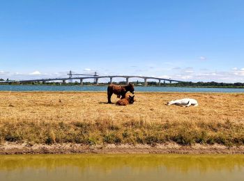
• Soubise - Ile Madame - Le port des Barques - St Nazaire sur Charente

V.T.C.

V.T.T.
V.T.T.
V.T.C.
V.T.C.

V.T.T.
• Boucle à faire en vélo (VTC, VTT ou Cyclotourisme) ou même à pied, pour découvrir 3 ponts historiques, fermés à la ci...
Vélo électrique
• Fouras
V.T.C.
• Bassin de Bougainville (rive droite de la Charente) ; Tonnay Charente; Cabariot ; traverse Charente (pont de la cèpe)...
V.T.C.
• Bassin de Bougainville (rive droite de la Charente) ; Tonnay Charente; Cabariot ; traverse Charente (pont de la cèpe)...
V.T.C.
Cyclotourisme
• https://www.lavelodyssee.com/itineraire/la-rochelle-rochefort
Vélo
• le long de la charente
V.T.T.
• Parcours urbain pour le départ puis très vite on se trouve plongé au cœur des marais de Rochefort. (attention passage...
Vélo électrique
Cyclotourisme
Cyclotourisme
V.T.C.
V.T.C.
20 randonnées affichées sur 23
Application GPS de randonnée GRATUITE
 SityTrail
IGN / Instituts géographiques
SityTrail World
Le monde est à vous