


37 km | 40 km-effort
La Ferté-Saint-Aubin : découvrez les meilleures randonnées : 4 v.t.t. et 1 v.t.c.. Tous ces circuits, parcours, itinéraires et activités en plein air sont disponibles dans nos applications SityTrail pour smartphones et tablettes.
V.T.T.


• Départ du parking du château de la Ferté Saint Aubin vers Vouzon par les GR de Sologne et retour par Ménestreau en Vi...
V.T.T.

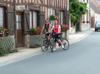
V.T.C.
• Succession de difficultés liées aux propriétés privées fermées aux randonneurs et vélos. De ce fait, 4km de routes a...
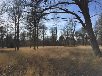
V.T.T.
• VTT route et chemins
V.T.T.
•
5 randonnées affichées sur 5
Application GPS de randonnée GRATUITE
 SityTrail
IGN / Instituts géographiques
SityTrail World
Le monde est à vous