


7,6 km | 8,2 km-effort
Aizenay : découvrez les meilleures randonnées : 9 v.t.t.. Tous ces circuits, parcours, itinéraires et activités en plein air sont disponibles dans nos applications SityTrail pour smartphones et tablettes.
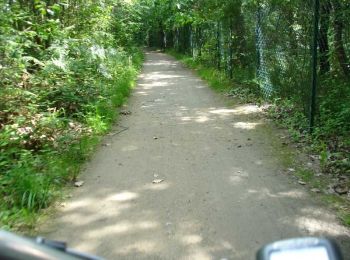
V.T.T.


• Circuit accessible à tous
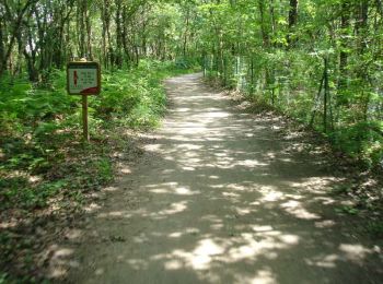
V.T.T.
• Aizenay a la chance de posséder un patrimoine de chemins anciens et un environnement bocager. Certains des sentiers o...

V.T.T.
• 01-10-2024 - Rando organisée - Seul
V.T.T.
• Mingan
V.T.T.
• Piste et détours
V.T.T.
• Circuit accessible à tous.
V.T.T.
• Circuit accessible à tous
V.T.T.
V.T.T.
9 randonnées affichées sur 9
Application GPS de randonnée GRATUITE
 SityTrail
IGN / Instituts géographiques
SityTrail World
Le monde est à vous