


11,8 km | 15,9 km-effort
Saint-Antonin-Noble-Val : découvrez les meilleures randonnées : 20 v.t.t., 1 vélo de route, 3 vélo électrique et 1 v.t.c.. Tous ces circuits, parcours, itinéraires et activités en plein air sont disponibles dans nos applications SityTrail pour smartphones et tablettes.
V.T.T.


Vélo électrique
V.T.T.
• C'est les mirettes et les cuisseaux encore tout émoustillés de la rando de la semaine passée, à Cahors, que je me lèv...

V.T.T.
• 57 km 1700 D+
V.T.T.
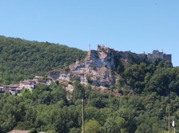
• St antonin
V.T.T.
• lamendin
V.T.T.
• 64 KM 1500 D+
V.T.T.
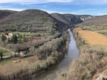
• Départ du parking le long de l' Aveyron. Le parcours a un balisage FFC (Circuit n°5)
V.T.T.
• Balisé la plupart du temps
V.T.T.
• 28-05-2019 - Raid VTT Aveyron - Avec Philou, Tanguy et Ronan
V.T.T.
• Cette spéciale Daffy, dans sa version complète, propose 4 descentes en single...à mériter. Les sentiers sont assez ca...
V.T.T.
V.T.T.
•
V.T.T.
• 48KM
V.T.T.
•
V.T.T.
• Voici le circuit de 75 km de la rando vtt édition 2007. Le départ se fait au village de St Antonin que vous visiterez...
Vélo électrique
Vélo électrique
V.T.C.
V.T.T.
20 randonnées affichées sur 25
Application GPS de randonnée GRATUITE
 SityTrail
IGN / Instituts géographiques
SityTrail World
Le monde est à vous