


50 km | 65 km-effort
Beaudéan : découvrez les meilleures randonnées : 2 vélo de route et 4 v.t.t.. Tous ces circuits, parcours, itinéraires et activités en plein air sont disponibles dans nos applications SityTrail pour smartphones et tablettes.

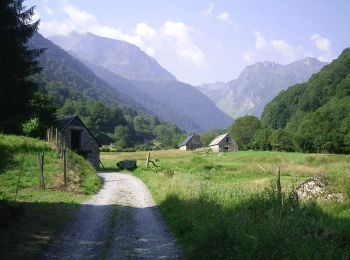
Vélo de route


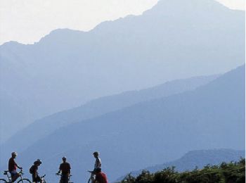
V.T.T.
• Haute Bigorre Circuit labellisé par la Fédération Française de Cyclisme. Curiosités :Artigues, à l’origine défrichées...
V.T.T.
• Haute Bigorre Circuit labellisé par la Fédération Française de Cyclisme. Curiosités : village de Beaudéan, fontaines,...

V.T.T.
• Haute Bigorre Circuit labellisé par la Fédération Française de Cyclisme. Rive droite orographique de l’Adour de Lespo...
V.T.T.
• 14 Juillet 2006 Parti relativement tard, j'atteins la porte n°4, lieu de départ du parcours, après 15 bons kilomètres...
Vélo de route
6 randonnées affichées sur 6
Application GPS de randonnée GRATUITE
 SityTrail
IGN / Instituts géographiques
SityTrail World
Le monde est à vous