


43 km | 61 km-effort
Val-d'Aigoual : découvrez les meilleures randonnées : 5 vélo, 1 vélo de route, 14 v.t.t. et 1 vélo électrique. Tous ces circuits, parcours, itinéraires et activités en plein air sont disponibles dans nos applications SityTrail pour smartphones et tablettes.
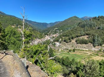
V.T.T.


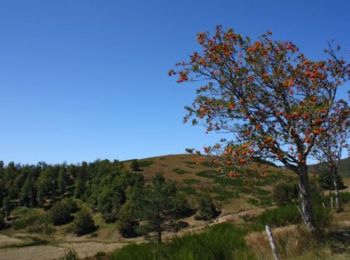
V.T.T.
• Départ de l'observatoire de l'Aigoual pour une descente sur l'Esperou puis remontée sur le Lingas pour entamer une de...

Vélo électrique
• parcours du cote de l'Aigoual sur route et piste.
V.T.T.
• du Mont Aigoual à La roque ste Marguerite en passant par le lac des pises, saint guiral, sauclières, nant, les liquis...
Vélo
• Favières les plantiers par la route
Vélo
• Vallerauge
V.T.T.
•
V.T.T.
•
Vélo de route
V.T.T.
V.T.T.
V.T.T.
V.T.T.
V.T.T.
Vélo
V.T.T.
Vélo
Vélo
V.T.T.
V.T.T.
20 randonnées affichées sur 21
Application GPS de randonnée GRATUITE
 SityTrail
IGN / Instituts géographiques
SityTrail World
Le monde est à vous