


30 km | 37 km-effort
Caniac-du-Causse : découvrez les meilleures randonnées : 4 v.t.t.. Tous ces circuits, parcours, itinéraires et activités en plein air sont disponibles dans nos applications SityTrail pour smartphones et tablettes.
V.T.T.


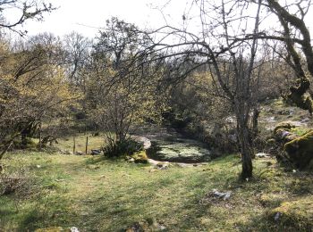
• Belle boucle dans le Causse, en forêt de La Braunhie.
V.T.T.
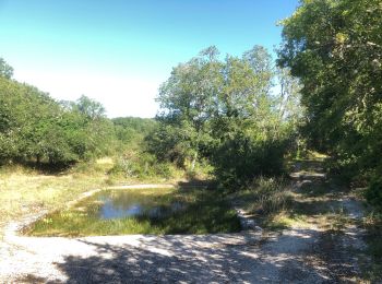
• Belle boucle dans le Causse, en forêt de La Braunhie.

V.T.T.
• Ce circuit qui sillonne les chemins de la Brauhnie demande des relances régulières tout au long de l’itinéraire, mais...
V.T.T.
4 randonnées affichées sur 4
Application GPS de randonnée GRATUITE
 SityTrail
IGN / Instituts géographiques
SityTrail World
Le monde est à vous