


21 km | 32 km-effort
La Salle-les-Alpes : découvrez les meilleures randonnées : 20 v.t.t., 1 v.t.c. et 2 vélo électrique. Tous ces circuits, parcours, itinéraires et activités en plein air sont disponibles dans nos applications SityTrail pour smartphones et tablettes.
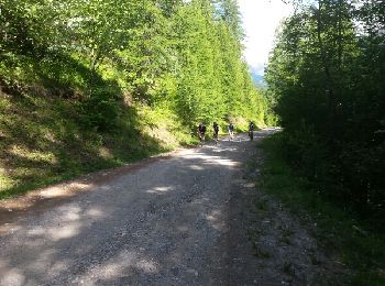
V.T.T.


• les deux versants de la vallée
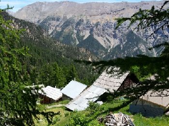
V.T.T.
• tour du col du granon
V.T.T.
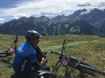
V.T.T.

V.T.T.
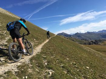
• col
V.T.C.
V.T.T.
V.T.T.
V.T.T.
V.T.T.
V.T.T.
V.T.T.
V.T.T.
V.T.T.
V.T.T.
V.T.T.
V.T.T.
V.T.T.
V.T.T.
V.T.T.
20 randonnées affichées sur 21
Application GPS de randonnée GRATUITE
 SityTrail
IGN / Instituts géographiques
SityTrail World
Le monde est à vous