


17,7 km | 29 km-effort
Châteauroux-les-Alpes : découvrez les meilleures randonnées : 6 v.t.t. et 3 vélo électrique. Tous ces circuits, parcours, itinéraires et activités en plein air sont disponibles dans nos applications SityTrail pour smartphones et tablettes.
V.T.T.


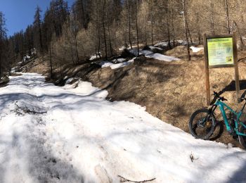
• Belle balade, un peu cailloux mais aussi une belle portion terre/aiguille de mélèze joueuse. J’ai pas pu aller tout ...
V.T.T.
• Belle balade, un peu cailloux mais aussi une belle portion terre/aiguille de mélèze joueuse. J’ai pas pu aller tout ...
V.T.T.
• circuit physique mais sans difficulté technique (sauf une petite montée) sinon très sympa comme circuit...

V.T.T.
• Très belle boucle. Beaux panoramas.
V.T.T.
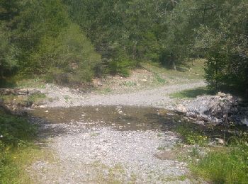
• Montée sur l’alpage. Piste forestière un peu difficile sur la fin, possibilité de partir de Serre Buzard. J’ai pas pu...
V.T.T.
• Montée sur l’alpage. Piste forestière un peu difficile sur la fin, possibilité de partir de Serre Buzard. J’ai pas pu...
V.T.T.
• pas trop de dénivelé
Vélo électrique
V.T.T.
9 randonnées affichées sur 7
Application GPS de randonnée GRATUITE
 SityTrail
IGN / Instituts géographiques
SityTrail World
Le monde est à vous