


23 km | 28 km-effort
Puget-sur-Argens : découvrez les meilleures randonnées : 15 v.t.t. et 1 vélo électrique. Tous ces circuits, parcours, itinéraires et activités en plein air sont disponibles dans nos applications SityTrail pour smartphones et tablettes.
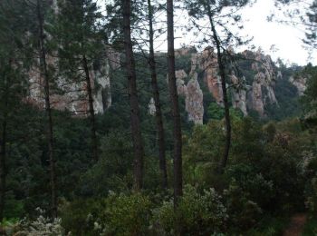
V.T.T.


• Départ conseillé au domaine La Lieutenante sur la route D4, entre le champ de tir militaire et les campings. Parcours...
Vélo électrique
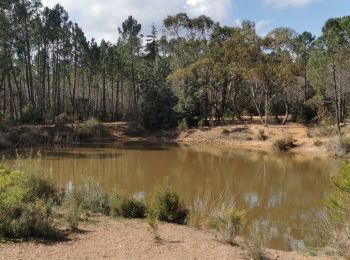
V.T.T.

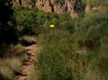
V.T.T.
• Danny, Luc ,Cyril, Richard
V.T.T.
• Avec Olivier
V.T.T.
•
V.T.T.
• VTT avec Arthur
V.T.T.
•
V.T.T.
• North of Purget sur Argens
V.T.T.
V.T.T.
V.T.T.
V.T.T.
V.T.T.
V.T.T.
V.T.T.
16 randonnées affichées sur 16
Application GPS de randonnée GRATUITE
 SityTrail
IGN / Instituts géographiques
SityTrail World
Le monde est à vous