


25 km | 34 km-effort
La Rochette : découvrez les meilleures randonnées : 2 vélo, 1 vélo de route et 6 v.t.t.. Tous ces circuits, parcours, itinéraires et activités en plein air sont disponibles dans nos applications SityTrail pour smartphones et tablettes.

V.T.T.


• route + chemin
V.T.T.
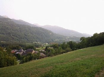
• départ de La rochette
Vélo
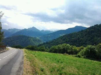
• par la route
V.T.T.
Vélo de route
• départ de la rochette puis boucle num.47. col bien difficile mais super bucolique
V.T.T.
•
V.T.T.
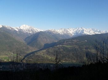
• les crêtes de Montmayeur
Vélo
•
V.T.T.
• mixte
9 randonnées affichées sur 9
Application GPS de randonnée GRATUITE
 SityTrail
IGN / Instituts géographiques
SityTrail World
Le monde est à vous