


70 km | 89 km-effort
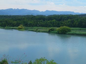
Chatuzange-le-Goubet : découvrez les meilleures randonnées : 3 vélo de route, 4 v.t.t. et 1 v.t.c.. Tous ces circuits, parcours, itinéraires et activités en plein air sont disponibles dans nos applications SityTrail pour smartphones et tablettes.
Vélo de route


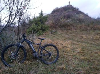
V.T.T.

V.T.T.
• de Chatuzange à St Vincent la commanderie avec un petite boucle au dessus.
Vélo de route
V.T.T.
V.T.C.
Vélo de route
V.T.T.
8 randonnées affichées sur 8
Application GPS de randonnée GRATUITE
 SityTrail
IGN / Instituts géographiques
SityTrail World
Le monde est à vous