


153 km | 164 km-effort
Ham : découvrez les meilleures randonnées : 1 vélo et 3 v.t.t.. Tous ces circuits, parcours, itinéraires et activités en plein air sont disponibles dans nos applications SityTrail pour smartphones et tablettes.
V.T.T.


• Partez à la découverte de la Somme d'Est en Ouest en une ou deux journées. Au départ du fort de Ham (lieu chargé d'hi...

V.T.T.
• Par les bords de Somme, chemins de halage et petits sentiers.
V.T.T.
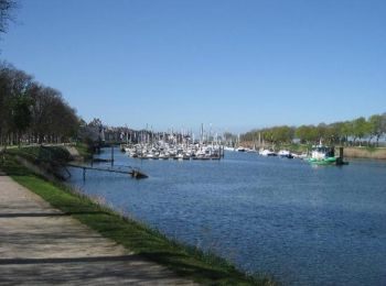
• Chemin de halage
Vélo
4 randonnées affichées sur 4
Application GPS de randonnée GRATUITE
 SityTrail
IGN / Instituts géographiques
SityTrail World
Le monde est à vous