


54 km | 66 km-effort
Région urbaine d'Aix-la-Chapelle : découvrez les meilleures randonnées : 5 vélo, 19 v.t.t., 3 v.t.c., 1 cyclotourisme et 2 vélo électrique. Tous ces circuits, parcours, itinéraires et activités en plein air sont disponibles dans nos applications SityTrail pour smartphones et tablettes.
V.T.T.


• Super parcours de vrai VTT. Quelques racines n'ont pas plus à tout le monde...
V.T.T.
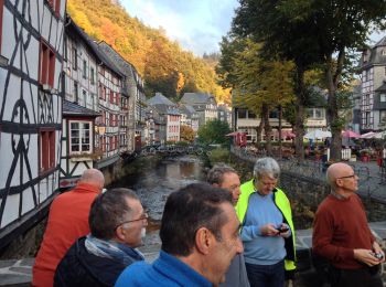
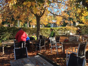
• Une dernière journée resplendissante, légèrement assombrie par la perte de la cassette de Dany.

Cyclotourisme
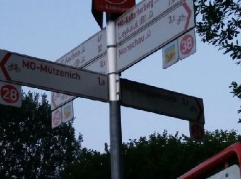
• Vennbahn
V.T.C.
• Chouette tracé VTC au revêtement varié (macadam, chemins, sentier + 1 passage en single track avec un tronçon compor...
V.T.T.
• Chouette tracé VTC au revêtement varié (macadam, chemins, sentier - juste qqs courts passages en single track très sa...
V.T.T.
• Chouette tracé VTC au revêtement varié (macadam, chemins, sentier - juste qqs courts passages en single track très sa...
Vélo
V.T.T.
• Jour 2/3 d'une randonnée en Eurégio au départ d'Eupen. Circuit très varié en paysage et en type de parcours. Ses poin...
V.T.T.
• Jour 3/3 d'une randonnée itinérante effectuée avec 6 classes de jeunes de 15 ans (2015)
Vélo
• Randonnée Elèves 2005 J3/3
V.T.T.
• Boucle VTC sur les 3 frontières. 200 m un peu moins praticables en VTC au Bois de Laschet (Teuven). Paysages très var...
V.T.T.
• Boucle tous chemins sur l'Allemagne et les Pays-Bas. Forêts, Ravel, traversée d'Aachen (Dom et Rathaus), remontée sur...
V.T.T.
• Boucle tous chemins. Au menu : forêts, Ravel, traversée d'Aachen (Dom et Rathaus). Allongement possible à 51 km.
V.T.T.
• Itinéraire VTC forestier en Eurégio joignant Aachen et Verviers via les lacs d'Eupen et de la Gileppe Randonnée Elève...
V.T.T.
• Itinéraire VTC en Eurégio entre Aachen et Liège - Intérêt : variété des paysages avec les forêts d'Aachen, les verger...
Vélo
• More information on GPStracks.nl : http://www.gpstracks.nl
Vélo
• More information on GPStracks.nl : http://www.gpstracks.nl
Vélo
• More information on GPStracks.nl : http://www.gpstracks.nl
V.T.T.
• More information on GPStracks.nl : http://www.gpstracks.nl
V.T.T.
• More information on GPStracks.nl : http://www.gpstracks.nl
20 randonnées affichées sur 30
Application GPS de randonnée GRATUITE
 SityTrail
IGN / Instituts géographiques
SityTrail World
Le monde est à vous