


8,5 km | 10,6 km-effort
Fribourg : découvrez les meilleures randonnées : 13 vélo, 12 v.t.t. et 1 v.t.c.. Tous ces circuits, parcours, itinéraires et activités en plein air sont disponibles dans nos applications SityTrail pour smartphones et tablettes.

Vélo


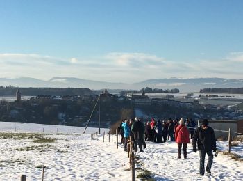
• Berlens

Vélo
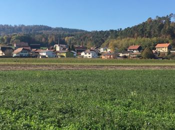
• Berlens
Vélo
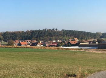
• Berlens
Vélo
• Sur les chemins de remaniement
Vélo
• De Ménières à Sassel et retour
Vélo
• De Ménières à Sassel et retour
Vélo
• Avry marrant Avry
Vélo

Vélo
•
V.T.T.
•
V.T.T.
•
V.T.T.
•
V.T.T.
•
V.T.C.
• Chevroux
Vélo
•
V.T.T.
•
Vélo
•
Vélo
•
V.T.T.
•
V.T.T.
• Au départ de Charmey, nous empruntons un petit single (suivre les panneaux vtt) pour l''échauffement avant de travers...
20 randonnées affichées sur 26
Application GPS de randonnée GRATUITE
 SityTrail
IGN / Instituts géographiques
SityTrail World
Le monde est à vous