


53 km | 73 km-effort
District de Morges : découvrez les meilleures randonnées : 9 v.t.t. et 1 v.t.c.. Tous ces circuits, parcours, itinéraires et activités en plein air sont disponibles dans nos applications SityTrail pour smartphones et tablettes.

V.T.T.


• Joli parcours VTT de 53Km pour 1300m de déniv. positif. C''est un parcours exigeant se déroulant sur des chemins fore...
V.T.C.

V.T.T.
V.T.T.
•
V.T.T.
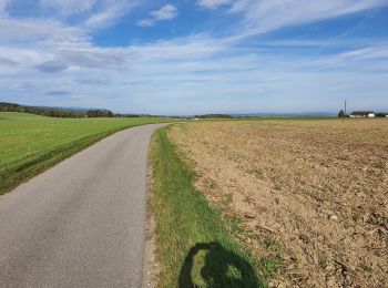
• Parcours se déroulant principalement sur route goudronée ( 70 magnifique vue depuis le vignoble de la Côte sur le bas...
V.T.T.
• Parcours se déroulant principalement sur route goudronée ( 70 magnifique vue depuis le vignoble de la Côte sur le bas...
V.T.T.
• Course VTT en boucle sur 10 Km pour un dénivelé de 170m par tour à parcourir 3 fois.
V.T.T.
• C''est un joli parcours VTT, principalement en forêt. Départ possible depuis bière au camp romain ceci raccourci pass...
V.T.T.
V.T.T.
10 randonnées affichées sur 10
Application GPS de randonnée GRATUITE
 SityTrail
IGN / Instituts géographiques
SityTrail World
Le monde est à vous