


463 km | 518 km-effort
Genève : découvrez les meilleures randonnées : 10 vélo, 5 vélo de route, 17 v.t.t. et 2 vélo électrique. Tous ces circuits, parcours, itinéraires et activités en plein air sont disponibles dans nos applications SityTrail pour smartphones et tablettes.

Vélo


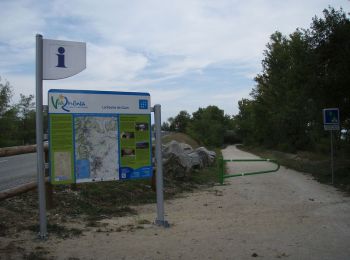
• La Via Rhôna est un aménagement cyclable long de 704 km en cours de réalisation qui doit relier Valleiry au bord du l...
V.T.T.
• La Via Rhôna est un aménagement cyclable long de 704 km en cours de réalisation qui doit relier Valleiry au bord du l...

Vélo
V.T.T.
V.T.T.
• Circuit suivant l'Aire et le Rhône sur pistes et chemins. Pas de difficulté technique.
Vélo
• viarhona etape 9 (partie française seulement) et 10
V.T.T.
•
Vélo
•
Vélo
•
V.T.T.
•
V.T.T.
•
V.T.T.
•
Vélo
• Vous découvrirez à travers leurs haies de thuyas les résidences du patriciat... Plus intéressant: la Ferme de Merling...
Vélo électrique
Vélo de route
Vélo électrique
Vélo de route
Vélo de route
Vélo de route
20 randonnées affichées sur 34
Application GPS de randonnée GRATUITE
 SityTrail
IGN / Instituts géographiques
SityTrail World
Le monde est à vous