


39 km | 44 km-effort
Région de Bratislava : découvrez les meilleures randonnées : 13 pédestres et 1 à vélo ou VTT. Tous ces circuits, parcours, itinéraires et activités en plein air sont disponibles dans nos applications SityTrail pour smartphones et tablettes.
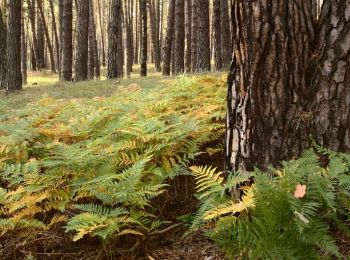
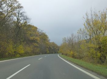
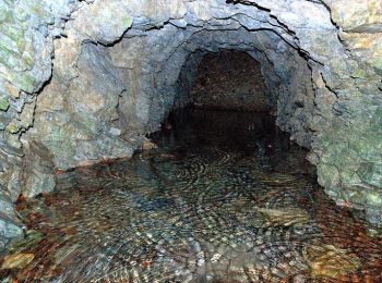
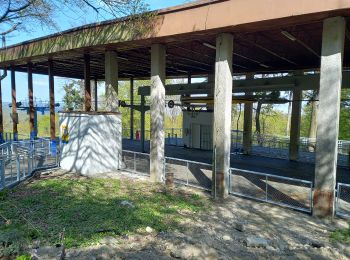
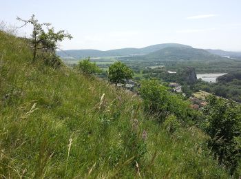
A pied


• Randonnée créée par KST Studienka.
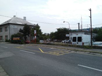
A pied
• Symbole: education
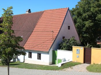
A pied
• Symbole: education Site web: http://naucnechodniky.eu/naucny-chodnik-male-levare/
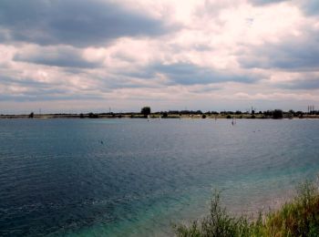
A pied
• Randonnée créée par Správa cestovného ruchu Senec.
A pied
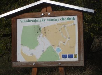
• Oficiálne stránky mesta Pezinok a MsÚ Pezinok Site web: https://www.pezinok.sk/?yggid=247
A pied
• Symbole: education
A pied
• Symbole: education
A pied
• Symbole: education
A pied
• Randonnée créée par Malokarpatský banícky spolok. Symbole: education
A pied
• Symbole: education Site web: http://www.horneoresany.sk/naucny-chodnik/
Marche

Cyclotourisme

Bateau à moteur

Marche
Marche
15 randonnées affichées sur 15
Application GPS de randonnée GRATUITE
 SityTrail
IGN / Instituts géographiques
SityTrail World
Le monde est à vous