![](/images/other/stat-length.png)
Trenčín, okres Trenčín : Les meilleures randonnées, itinéraires, parcours, balades et promenades
Trenčín : découvrez les meilleures randonnées : 6 pédestres. Tous ces circuits, parcours, itinéraires et activités en plein air sont disponibles dans nos applications SityTrail pour smartphones et tablettes.
Les meilleurs parcours (6)
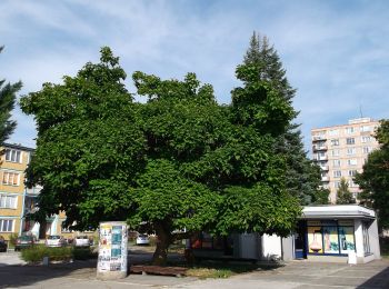
![Randonnée A pied okres Trenčín - IVV5 - JANOV CHODNÍK (dlhá rodinná trasa) - Photo](https://media.geolcdn.com/t/350/260/4b9f1942-e6b0-405b-a1d0-c332aba9276a.jpeg&format=jpg&maxdim=2)
![A pied A pied](https://static1.geolcdn.com/sitytour/trail-icons/100.png)
Km
A pied
![](/images/other/stat-length.png)
![](https://static1.geolcdn.com/siteimages/upload/files/1508320355ic_sort_den_pos_24dp.png)
![](https://static1.geolcdn.com/siteimages/upload/files/1508320355ic_sort_den_neg_24dp.png)
![](https://static1.geolcdn.com/siteimages/upload/files/16400158638029165_repeat_loop_refresh_sync_direction_icon.png)
• Randonnée créée par KST. Symbole: none
![Randonnée A pied okres Trenčín - IVV4 - ANKIN CHODNÍK (stredná rodinná trasa) - Photo](https://media.geolcdn.com/t/350/260/4b9f1942-e6b0-405b-a1d0-c332aba9276a.jpeg&format=jpg&maxdim=2)
![A pied A pied](https://static1.geolcdn.com/sitytour/trail-icons/100.png)
Km
A pied
![](/images/other/stat-length.png)
![](https://static1.geolcdn.com/siteimages/upload/files/1508320355ic_sort_den_pos_24dp.png)
![](https://static1.geolcdn.com/siteimages/upload/files/1508320355ic_sort_den_neg_24dp.png)
![](https://static1.geolcdn.com/siteimages/upload/files/16400158638029165_repeat_loop_refresh_sync_direction_icon.png)
• Randonnée créée par KST. Symbole: none
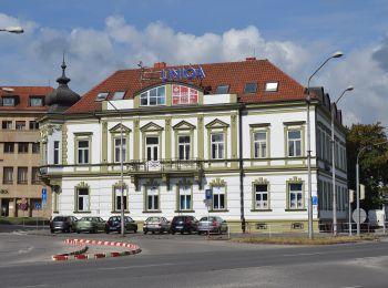
![Randonnée A pied okres Trenčín - IVV3 - STANOV CHODNÍK (krátka rodinná trasa) - Photo](https://media.geolcdn.com/t/350/260/b6c4c4f3-797f-4a80-8ec5-cec452c9efff.jpeg&format=jpg&maxdim=2)
![A pied A pied](https://static1.geolcdn.com/sitytour/trail-icons/100.png)
Km
A pied
![](/images/other/stat-length.png)
![](https://static1.geolcdn.com/siteimages/upload/files/1508320355ic_sort_den_pos_24dp.png)
![](https://static1.geolcdn.com/siteimages/upload/files/1508320355ic_sort_den_neg_24dp.png)
![](https://static1.geolcdn.com/siteimages/upload/files/16400158638029165_repeat_loop_refresh_sync_direction_icon.png)
• Randonnée créée par KST. Symbole: none
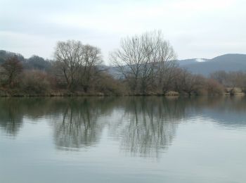
![Randonnée A pied okres Trenčín - IVV2 - JIRKOV CHODNÍK (dôchodcovská trasa) - Photo](https://media.geolcdn.com/t/350/260/9d79371f-43e4-403b-88ef-047fd77a3821.jpeg&format=jpg&maxdim=2)
![A pied A pied](https://static1.geolcdn.com/sitytour/trail-icons/100.png)
Km
A pied
![](/images/other/stat-length.png)
![](https://static1.geolcdn.com/siteimages/upload/files/1508320355ic_sort_den_pos_24dp.png)
![](https://static1.geolcdn.com/siteimages/upload/files/1508320355ic_sort_den_neg_24dp.png)
![](https://static1.geolcdn.com/siteimages/upload/files/16400158638029165_repeat_loop_refresh_sync_direction_icon.png)
• Randonnée créée par KST. Symbole: none
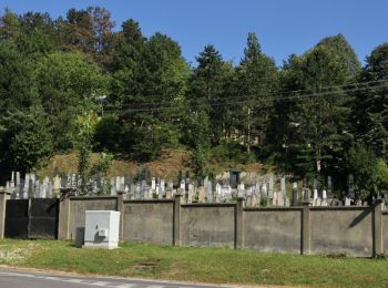
![Randonnée A pied okres Trenčín - IVV1 - MARTIN CHODNÍK (kočíkova trasa) - Photo](https://media.geolcdn.com/t/350/260/2c914681-0078-4832-9751-40a0134d2d40.jpeg&format=jpg&maxdim=2)
![A pied A pied](https://static1.geolcdn.com/sitytour/trail-icons/100.png)
Km
A pied
![](/images/other/stat-length.png)
![](https://static1.geolcdn.com/siteimages/upload/files/1508320355ic_sort_den_pos_24dp.png)
![](https://static1.geolcdn.com/siteimages/upload/files/1508320355ic_sort_den_neg_24dp.png)
![](https://static1.geolcdn.com/siteimages/upload/files/16400158638029165_repeat_loop_refresh_sync_direction_icon.png)
• Randonnée créée par KST. Symbole: none
![Randonnée A pied okres Trenčín - Kyslíková dráha - Photo](https://media.geolcdn.com/t/350/260/2c914681-0078-4832-9751-40a0134d2d40.jpeg&format=jpg&maxdim=2)
![A pied A pied](https://static1.geolcdn.com/sitytour/trail-icons/100.png)
Km
A pied
![](/images/other/stat-length.png)
![](https://static1.geolcdn.com/siteimages/upload/files/1508320355ic_sort_den_pos_24dp.png)
![](https://static1.geolcdn.com/siteimages/upload/files/1508320355ic_sort_den_neg_24dp.png)
![](https://static1.geolcdn.com/siteimages/upload/files/16400158638029165_repeat_loop_refresh_sync_direction_icon.png)
• Symbole: major Site web: http://stary.trencin.sk/index.php?s-cv-contentID=12288&s-cv-embeddedID=kyslikova_draha
6 randonnées affichées sur 6
Application GPS de randonnée GRATUITE