


13,1 km | 18,3 km-effort
okres Tvrdošín : découvrez les meilleures randonnées : 3 pédestres. Tous ces circuits, parcours, itinéraires et activités en plein air sont disponibles dans nos applications SityTrail pour smartphones et tablettes.
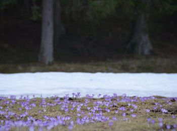
A pied


• Symbole: education
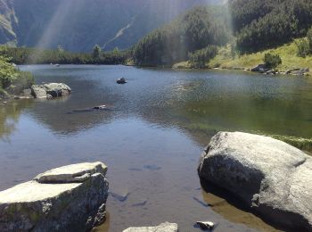
A pied
• Symbole: education
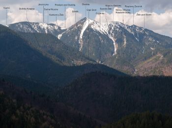
A pied
• Symbole: education

Ski de randonnée
4 randonnées affichées sur 4
 SityTrail