


11,1 km | 17,6 km-effort
Kamnik : découvrez les meilleures randonnées : 8 pédestres. Tous ces circuits, parcours, itinéraires et activités en plein air sont disponibles dans nos applications SityTrail pour smartphones et tablettes.
Marche


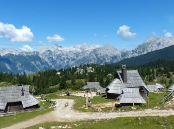
• Une randonnée dans les alpages pour découvrir ce village de bergers et ses chalets en bois. Au départ le téléphérique...

Marche
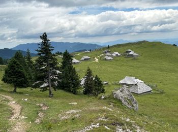
• petit tour Chapelle et restaurant
Marche
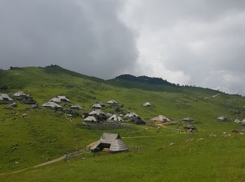
• chemin du parking 3 au plateau de Velika Planina

A pied
Marche
Marche

Marche
Marche
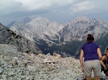
• kravnik à pied
8 randonnées affichées sur 8
Application GPS de randonnée GRATUITE
 SityTrail
IGN / Instituts géographiques
SityTrail World
Le monde est à vous