


8,9 km | 14 km-effort
Bohinj : découvrez les meilleures randonnées : 38 pédestres et 3 à vélo ou VTT. Tous ces circuits, parcours, itinéraires et activités en plein air sont disponibles dans nos applications SityTrail pour smartphones et tablettes.
A pied


Marche
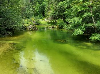
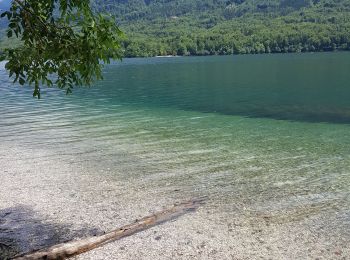
• Balade autour du lac de Bohinj par le sentier nord (plus sauvage).
A pied
Marche
• Étape 4: Koča pri Triglavskih jezerih (1685 m) – Štapce (1851 m) – Bregarjevo zavetišče na planini Viševnik (1620 m) ...
Marche
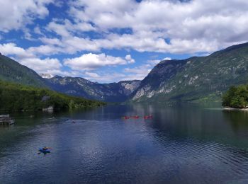
• rive nord
Marche
Marche
Marche

Marche
• Aller-retour sur chemins balisés
Marche
Marche
• Mont vogel
Marche
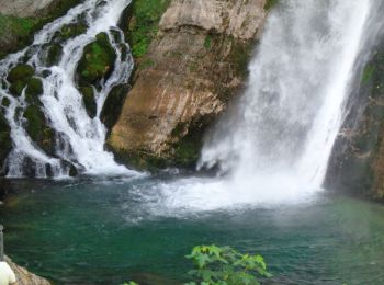
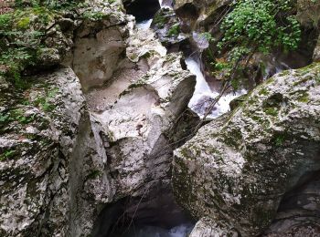
• Promenade en bateau, téléphérique, chute d'eau, point de vue
Marche
• Variante qui double l'étape 12 et 13 en cas de refuge Doliču complet, ce qui arrive souvent en été car c'est le point...
Marche
• Variante de l'étape 11 Rouge de la Via Alpina. Démarre de la fin de la route carrossable aux chutes de Slavica. (Bus ...
Marche
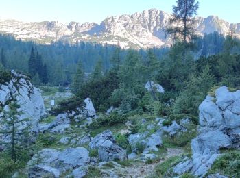
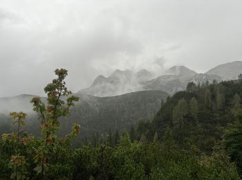
• Passage par le sommet du Triglav
Marche
• Départ du lac. Nuit en dortoir 13km et 1855D+
Marche
• Passage par le sommet du Triglav
Marche
• Départ par le téléphérique de Vogel à Ukanc, lac de Bohinj (Bohinjsko jezero). Vers Orlova Glava jusqu'au châlet, pui...
Marche
Marche
20 randonnées affichées sur 42
Application GPS de randonnée GRATUITE
 SityTrail
IGN / Instituts géographiques
SityTrail World
Le monde est à vous