


3,7 km | 5,3 km-effort
Comté de Norrbotten : découvrez les meilleures randonnées : 12 pédestres et 1 à vélo ou VTT. Tous ces circuits, parcours, itinéraires et activités en plein air sont disponibles dans nos applications SityTrail pour smartphones et tablettes.
A pied


• Symbole: orange signs
A pied
• Site web: http://www.laponia.info/landskapet/platser/muddus-rallarstigen/
A pied
• Symbole: sun over a hill
A pied
• Randonnée créée par Abisko Naturum. Symbole: 4 dots on hexagonal purple background
Ski de fond
• En ski de fond en hiver

A pied
• Symbole: red

Marche
• n'aller sur la mer gelée qu'après une période de grand froid et avec au minimum 20 cm de glace
A pied

Sports d'hiver
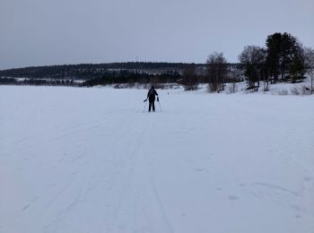
• beau temps super
Sports d'hiver
• Variante étape 3 passant par le refuge Nallostugan
Autre activité
• Etape la plus difficile, col de tjaktya. Possibilité d'étape intermédiaire
Sports d'hiver
• Laisser la piste de unna à droite et passer entre les sommets giron et gardennvarri
Autre activité
• Première étape kungsleden
Marche
Moto neige

Raquettes à neige
Chiens de traîneau
Marche

 9.37
9.37
sport
6.367
sport
20 randonnées affichées sur 35
Application GPS de randonnée GRATUITE
 SityTrail
IGN / Instituts géographiques
SityTrail World
Le monde est à vous