


23 km | 26 km-effort
Comté de Västmanland : découvrez les meilleures randonnées : 21 pédestres. Tous ces circuits, parcours, itinéraires et activités en plein air sont disponibles dans nos applications SityTrail pour smartphones et tablettes.

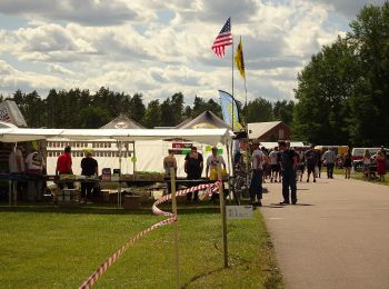
A pied


A pied
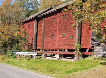
A pied
A pied
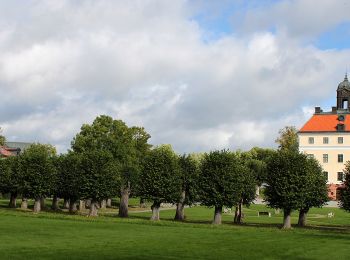
A pied
A pied
A pied

A pied
A pied
A pied
A pied

A pied
• Randonnée créée par Länsstyrelsen i Västmanlands län.
A pied
• Site web: https://www.sala.se/?page=contact&id=18387

Marche
• Marche
A pied
A pied
A pied
A pied
A pied
A pied
20 randonnées affichées sur 21
Application GPS de randonnée GRATUITE
 SityTrail
IGN / Instituts géographiques
SityTrail World
Le monde est à vous