


6,3 km | 7 km-effort
Inconnu : découvrez les meilleures randonnées : 48 pédestres. Tous ces circuits, parcours, itinéraires et activités en plein air sont disponibles dans nos applications SityTrail pour smartphones et tablettes.
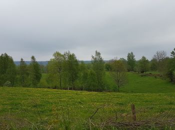
A pied


• Leder i skiftande landskap Site web: https://www.vastsverige.com/skara/produkter/vandra-i-valle/
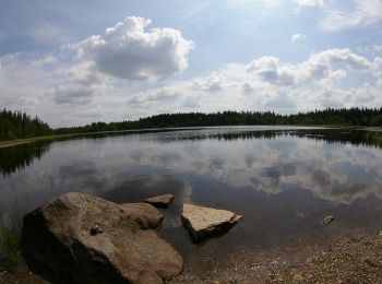
A pied
• Randonnée créée par IK Wilske.
A pied
• Site web: http://www.laget.se/granviksbyalag/Document/Download/295907/2281760
A pied
• track 29.08.2015
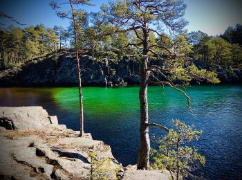
A pied
• track 29.08.2015
A pied
• track 29.08.2015
A pied
• Symbole: oranger Diamant - kein Hintergrund
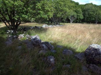
A pied
A pied
A pied
A pied
A pied

A pied
• Randonnée créée par IK Wilske.
A pied
A pied
A pied
A pied

A pied
• Randonnée créée par Åsle, Mularp & Tiarps Hembygdsförening.
A pied
• Site web: http://www.herrljunga.se/uppleva-och-gora/friluftsliv-natur-bad-och-vandring/spar-och-vandringsleder/sams...
A pied
20 randonnées affichées sur 48
Application GPS de randonnée GRATUITE
 SityTrail
IGN / Instituts géographiques
SityTrail World
Le monde est à vous