


66 km | 100 km-effort
Inconnu : découvrez les meilleures randonnées : 19 pédestres. Tous ces circuits, parcours, itinéraires et activités en plein air sont disponibles dans nos applications SityTrail pour smartphones et tablettes.
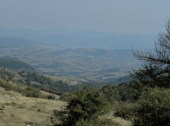
A pied


• Symbole: red stripe
A pied
• Symbole: yellow triangle
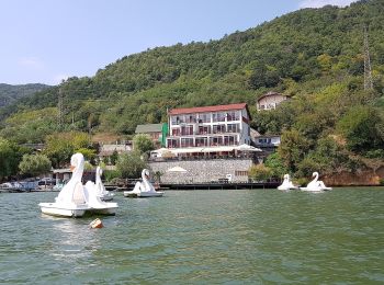
A pied
A pied
A pied
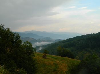
A pied

A pied
• Symbole: blue dot

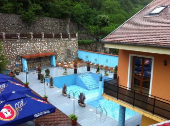
A pied
A pied

A pied
• Symbole: triangle
A pied
• Symbole: red triangle
A pied
• Symbole: blue triangle
A pied
• Symbole: red dot
A pied
• Symbole: yellow triangle
A pied
A pied
A pied
A pied
A pied
19 randonnées affichées sur 19
 SityTrail