


10,9 km | 16,7 km-effort
Inconnu : découvrez les meilleures randonnées : 33 pédestres. Tous ces circuits, parcours, itinéraires et activités en plein air sont disponibles dans nos applications SityTrail pour smartphones et tablettes.
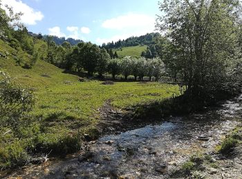
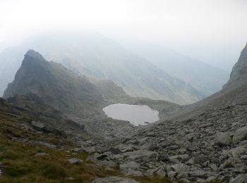
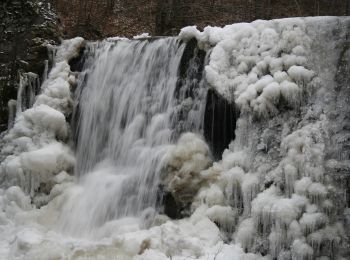
A pied


• Randonnée créée par Munții Noștri.
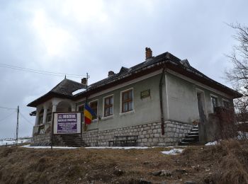
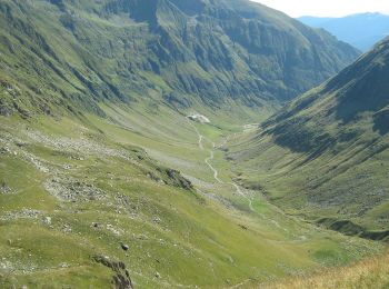
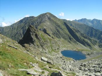
A pied
• Randonnée créée par Munții Noștri.
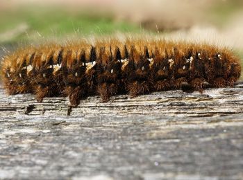
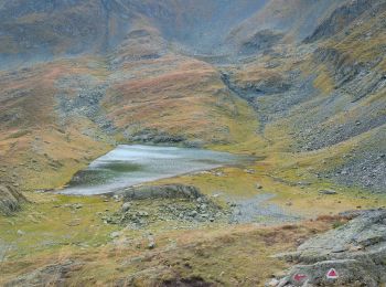
A pied
• Symbole: Red triangle with white border
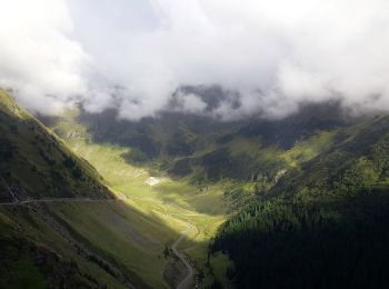
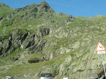
A pied
• Symbole: bandă albastră
A pied
• Symbole: Dunga Albastra

A pied
• Symbole: cruce roşie
A pied
A pied
A pied
A pied
A pied
A pied
A pied
A pied
A pied
A pied
A pied

A pied
• Symbole: yellow dot on white ground

A pied
A pied
20 randonnées affichées sur 33
Application GPS de randonnée GRATUITE
 SityTrail
IGN / Instituts géographiques
SityTrail World
Le monde est à vous