


5,8 km | 10,4 km-effort
Inconnu : découvrez les meilleures randonnées : 48 pédestres. Tous ces circuits, parcours, itinéraires et activités en plein air sont disponibles dans nos applications SityTrail pour smartphones et tablettes.
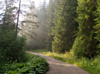
A pied


• Symbole: red dot
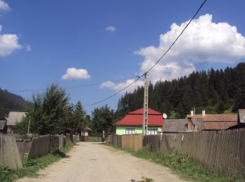
A pied
• Randonnée créée par Asociația Via Mariae.
A pied
• Randonnée créée par Asociația Via Mariae.
A pied
• Symbole: blue stripe
A pied
• Symbole: Blue cross
A pied
• Symbole: Red cross
A pied
• Symbole: Blue stripe
A pied
• Symbole: red dot
A pied
• Symbole: Red dot
A pied
• Symbole: Red triangle
A pied
• Symbole: Blue cross
A pied
• Symbole: yellow stripe
A pied
• Symbole: blue dot
A pied
• Symbole: blue stripe
A pied
• Symbole: red triangle
A pied
• Symbole: yellow triangle
A pied
• Symbole: Red cross
A pied
• Symbole: Blue cross
A pied
A pied
20 randonnées affichées sur 48
Application GPS de randonnée GRATUITE
 SityTrail
IGN / Instituts géographiques
SityTrail World
Le monde est à vous