


14,6 km | 34 km-effort
Santana : découvrez les meilleures randonnées : 28 pédestres. Tous ces circuits, parcours, itinéraires et activités en plein air sont disponibles dans nos applications SityTrail pour smartphones et tablettes.
Marche


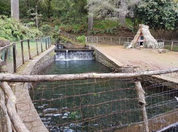
• Levada
Marche
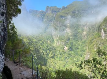
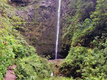
• Randonnée très bien décrite dans le Rother Madère - n°28 et 29. Très belle randonnée dans le cirque vert qui suit une...
A pied
Marche
Marche
Marche
• Levada boueuse

A pied
• 16km 1775D+

Marche
• Départ du parking du Rancho Madeirense - proche commune Santana ? Prévoir lampe de poche D'après le guide Evasion Mad...
Marche
Marche
• Levadas madere
Marche
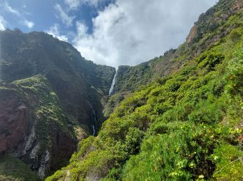
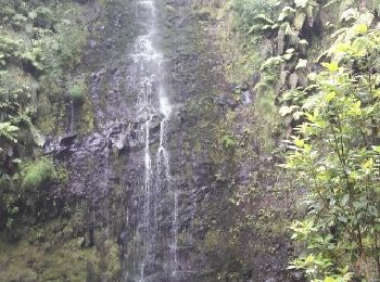
• Randonnée très verte avec une grosse montée sur la fin. Départ depuis Pico das Pedras et non depuis Queimadas (Rother...
Marche
• Picos das perdas à ilha
Marche
Marche
Marche
Marche
Marche
Marche
Marche
Marche
20 randonnées affichées sur 29
Application GPS de randonnée GRATUITE
 SityTrail
IGN / Instituts géographiques
SityTrail World
Le monde est à vous