


8,1 km | 10,4 km-effort
Odeleite : découvrez les meilleures randonnées : 5 pédestres. Tous ces circuits, parcours, itinéraires et activités en plein air sont disponibles dans nos applications SityTrail pour smartphones et tablettes.
A pied


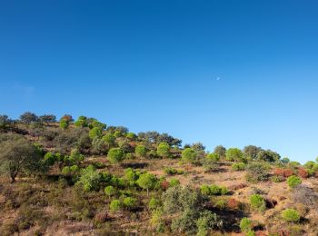
• Randonnée créée par Município de Castro Marim. Symbole: Yellow over Red
A pied
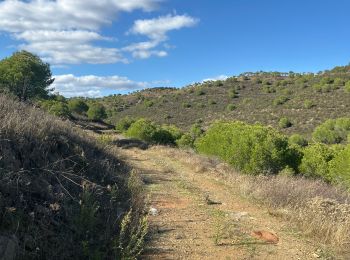
• Randonnée créée par Município de Castro Marim.
 11.802
sport

A pied
• Randonnée créée par Câmara Municipal de Castro Marim / Odiana.
A pied
• Para aqueles que gostam de praticar desporto, de estar em contacto com a natureza ou de passear tranquilamente, estes...

Marche
• More information on GPStracks.nl : http://www.gpstracks.nl
6 randonnées affichées sur 6
Application GPS de randonnée GRATUITE
 SityTrail
IGN / Instituts géographiques
SityTrail World
Le monde est à vous