


26 km | 38 km-effort
Monchique : découvrez les meilleures randonnées : 15 pédestres et 3 à vélo ou VTT. Tous ces circuits, parcours, itinéraires et activités en plein air sont disponibles dans nos applications SityTrail pour smartphones et tablettes.
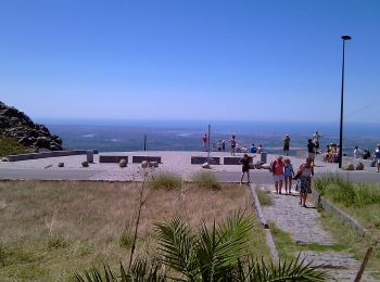
A pied


• Randonnée créée par Almargem. Symbole: Tree inside Green circle
A pied
• Randonnée créée par Almargem. Symbole: Tree inside Green circle
A pied
• Randonnée créée par Almargem. Symbole: Tree inside Green circle
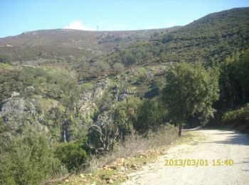
A pied
• Randonnée créée par Almargem. Symbole: Mountain inside Orange circle

Marche
Marche
A pied
A pied
A pied
A pied
A pied
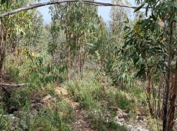
• Cascata do Barbelote est un sentier allez-retour de 3.7 kilomètres modérément fréquenté. Le sentier longe une cascade...

 6.897
6.897
sport
• Balade d’environ 2heures avec un dénivelé de difficulté moyen. Attention aux cailloux !
Marche
Marche
• More information on GPStracks.nl : http://www.gpstracks.nl

Vélo électrique
Vélo électrique
Vélo électrique

A pied
Marche
19 randonnées affichées sur 19
Application GPS de randonnée GRATUITE
 SityTrail
IGN / Instituts géographiques
SityTrail World
Le monde est à vous