


5,8 km | 8,2 km-effort
Algarve : découvrez les meilleures randonnées : 257 pédestres, 22 à vélo ou VTT et 1 parcours équestres. Tous ces circuits, parcours, itinéraires et activités en plein air sont disponibles dans nos applications SityTrail pour smartphones et tablettes.
Marche


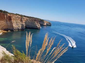
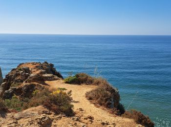
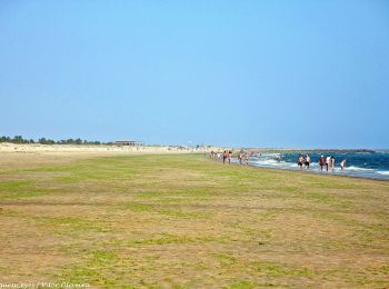
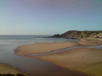
• Il s'agit d'un sentier côtier vraiment spectaculaire qui se déroule au sommet de falaises profondément sculptées. Ici...
Marche
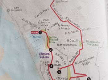
• 🚩 Marina de Faro. 🏁 Igreja de Nossa Senhora do Carmo et Capela dos Ossos. 1️⃣ Marina de Faro 2️⃣ Porte de la vieill...
Marche
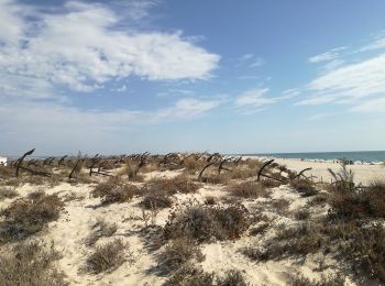
• Superbe randonnée le long de la côte sud de l'Algarve. Rochers très découpés et très colorés.
Marche
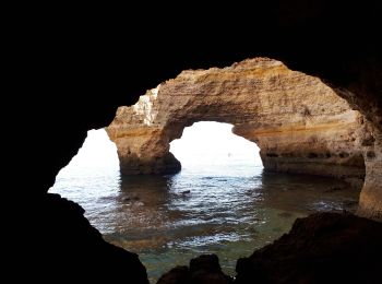
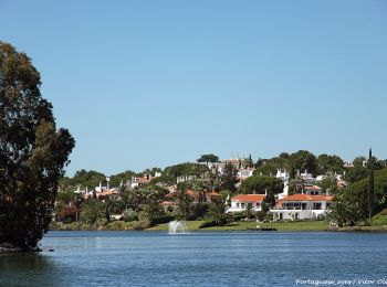
• Randonnée jusqu'aux rochers et falaises les plus célèbres de toute l'Algarve. Départ du superbe hôtel DOM MANUEL I.
A pied
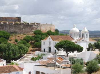
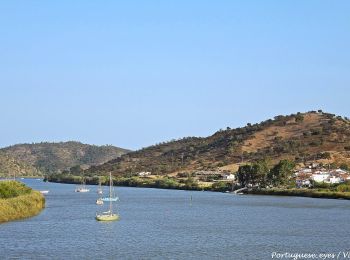
• Randonnée créée par Câmara Municipal de Castro Marim / Odiana. Sem marcação
A pied
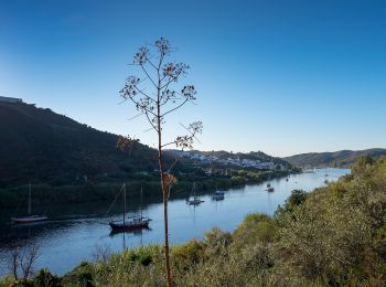
• Randonnée créée par Odiana.
A pied
• Randonnée créée par Odiana.
A pied
• Randonnée créée par Loulé concelho. Site web: http://cms.cm-loule.pt/upload_files/client_id_1/website_id_1/files/T...
A pied
• Randonnée créée par Almargem. Symbole: White bag inside Orange circle
A pied
• Randonnée créée par Almargem. Parte inicial linear e posteriormente circular Symbole: White bag inside Orange circle
A pied
• Randonnée créée par Almargem. Symbole: Tree inside Green circle
A pied
• Randonnée créée par Almargem. Symbole: Tree inside Green circle
A pied
• Randonnée créée par Almargem. Symbole: Tree inside Green circle
A pied
• Randonnée créée par Almargem. Symbole: Mountain inside Orange circle
A pied
• Randonnée créée par Almargem. Symbole: Mountain inside Orange circle
A pied
• Randonnée créée par Agência Portuguesa do Ambiente.
A pied
• Randonnée créée par Rota Vicentina. Site web: https://rotavicentina.com/trilhos/da-bordeira-ate-ao-mar/
A pied
• Randonnée créée par Camara Municipal de Olhao.
A pied
• Randonnée créée par Câmara Municipal de Loulé.
A pied
• Symbole: Yellow over Red
20 randonnées affichées sur 276
Application GPS de randonnée GRATUITE
 SityTrail
IGN / Instituts géographiques
SityTrail World
Le monde est à vous