


4,1 km | 7,6 km-effort
Mackenzie District : découvrez les meilleures randonnées : 2 pédestres. Tous ces circuits, parcours, itinéraires et activités en plein air sont disponibles dans nos applications SityTrail pour smartphones et tablettes.
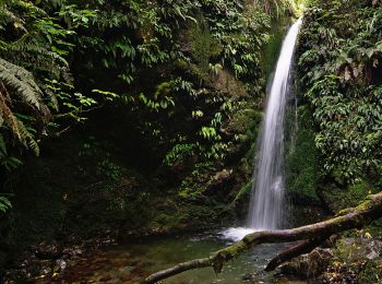
A pied


• Randonnée créée par Department of Conservation.
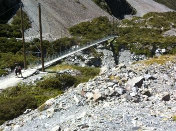
A pied
• Randonnée créée par Department of Conservation.
Autre activité
• Très beau circuit en boucle avec vues sur le Mont Cook/Aoraki
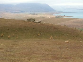
Autre activité
• Plus loin de France y'a pas!
4 randonnées affichées sur 4
Application GPS de randonnée GRATUITE
 SityTrail
IGN / Instituts géographiques
SityTrail World
Le monde est à vous