


3,9 km | 5,4 km-effort
Park : découvrez les meilleures randonnées : 8 pédestres et 2 à vélo ou VTT. Tous ces circuits, parcours, itinéraires et activités en plein air sont disponibles dans nos applications SityTrail pour smartphones et tablettes.
A pied


• Site web: https://citylife.esch.lu/circuits_autopedestres/
A pied
• Randonnée créée par Ministère de l´Économie. Site web: https://map.geoportail.lu/theme/tourisme?fid=176_3799343

Marche
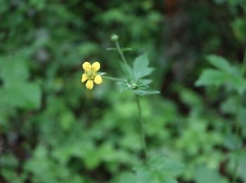
• Ellergronn Natura 2000 - S1
Marche
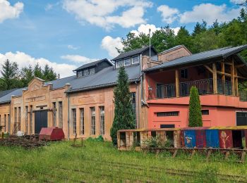
• Ellergronn

A pied
Marche
Marche

V.T.T.
Marche
V.T.T.
10 randonnées affichées sur 10
Application GPS de randonnée GRATUITE
 SityTrail
IGN / Instituts géographiques
SityTrail World
Le monde est à vous