


6,2 km | 12,7 km-effort
Erve : découvrez les meilleures randonnées : 3 pédestres. Tous ces circuits, parcours, itinéraires et activités en plein air sont disponibles dans nos applications SityTrail pour smartphones et tablettes.
A pied


• Randonnée créée par Comunità Montana Valle San Martino.
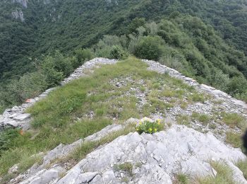
A pied
• Randonnée créée par CAI Monza. Symbole: red-white-yellow vertical bars with the black text "11"
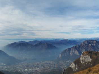
A pied
• Randonnée créée par CAI Monza. Symbole: red-white-yellow vertical bars with the black text "11"
3 randonnées affichées sur 3
Application GPS de randonnée GRATUITE
 SityTrail
IGN / Instituts géographiques
SityTrail World
Le monde est à vous