


18,7 km | 36 km-effort
Triora : découvrez les meilleures randonnées : 9 pédestres et 1 à vélo ou VTT. Tous ces circuits, parcours, itinéraires et activités en plein air sont disponibles dans nos applications SityTrail pour smartphones et tablettes.
A pied


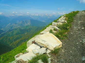
• Randonnée créée par Club Alpino Italiano. Sentiero Italia CAI 2019
A pied
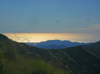
• Randonnée créée par Club Alpino Italiano. Symbole: unmarked

A pied
• Randonnée créée par Club Alpino Italiano. Sentiero Italia CAI 2019 Symbole: AV on white red flag
A pied
A pied
Marche
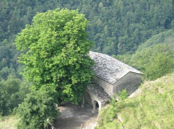
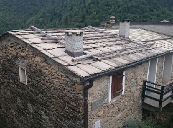
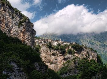
• Découverte du "Village des Sorcières" et du "Village des Lauzes". Vaste territoire au pied des sommets les plus hauts...
A pied

Marche
Marche

Cyclotourisme
10 randonnées affichées sur 10
Application GPS de randonnée GRATUITE
 SityTrail
IGN / Instituts géographiques
SityTrail World
Le monde est à vous