


9,4 km | 15,1 km-effort
Bronte : découvrez les meilleures randonnées : 7 pédestres. Tous ces circuits, parcours, itinéraires et activités en plein air sont disponibles dans nos applications SityTrail pour smartphones et tablettes.

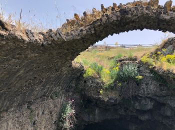
A pied


• Randonnée créée par Parco dell'Etna. Symbole: 710 on white red flag
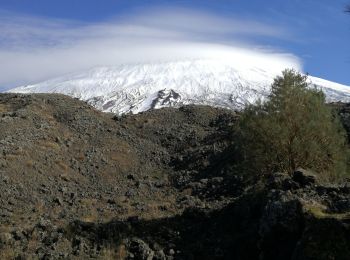
A pied

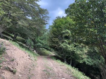
A pied
• Randonnée créée par Parco dell'Etna. Symbole: 710A on white red flag
Marche
• Départ rifuggio dei Grilli
A pied

A pied

Marche
• Percorso facile su sterato
7 randonnées affichées sur 7
Application GPS de randonnée GRATUITE
 SityTrail
IGN / Instituts géographiques
SityTrail World
Le monde est à vous