


4,8 km | 7,4 km-effort
Ville d'Anaunia : découvrez les meilleures randonnées : 11 pédestres. Tous ces circuits, parcours, itinéraires et activités en plein air sont disponibles dans nos applications SityTrail pour smartphones et tablettes.
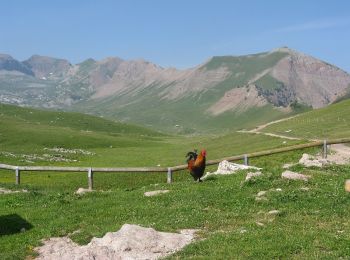
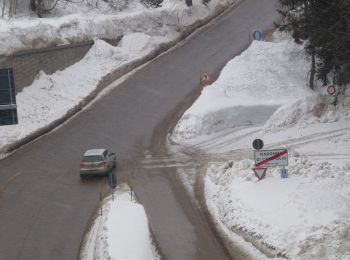
A pied


• Randonnée créée par Società degli Alpinisti Tridentini. Site web: http://www.sat.tn.it/
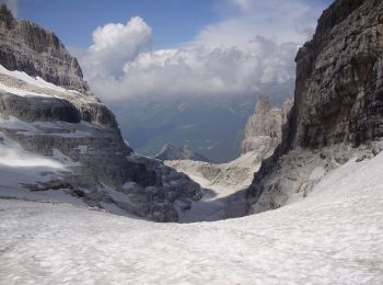
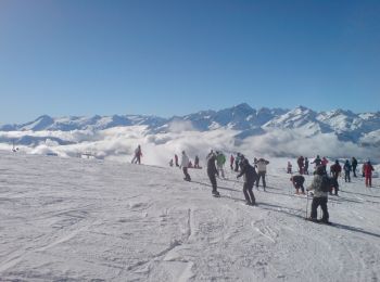
A pied
• Randonnée créée par Società degli Alpinisti Tridentini. Site web: http://www.sat.tn.it/

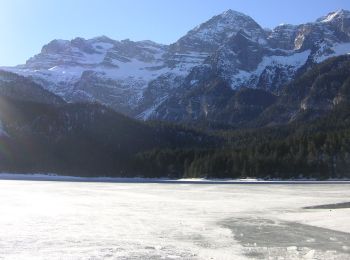
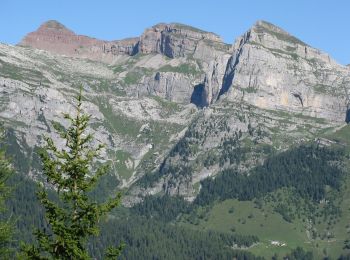
A pied
• Randonnée créée par Società degli Alpinisti Tridentini. Site web: http://www.sat.tn.it/
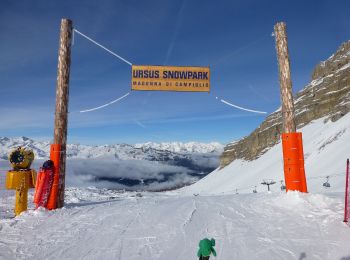
A pied
• Randonnée créée par Società degli Alpinisti Tridentini. Site web: http://www.sat.tn.it/
A pied
• Randonnée créée par Società degli Alpinisti Tridentini. Site web: http://www.sat.tn.it/
A pied
• Randonnée créée par Società degli Alpinisti Tridentini. Site web: http://www.sat.tn.it/
A pied
• Randonnée créée par Società degli Alpinisti Tridentini. Site web: http://www.sat.tn.it/
A pied
• Randonnée créée par Società degli Alpinisti Tridentini. Site web: http://www.sat.tn.it/

A pied
• Randonnée créée par Società degli Alpinisti Tridentini. Site web: http://www.sat.tn.it/
A pied
• Randonnée créée par Società degli Alpinisti Tridentini. Site web: http://www.sat.tn.it/
A pied
• Randonnée créée par Società degli Alpinisti Tridentini. Site web: http://www.sat.tn.it/
11 randonnées affichées sur 11
Application GPS de randonnée GRATUITE
 SityTrail
IGN / Instituts géographiques
SityTrail World
Le monde est à vous