


4 km | 6,7 km-effort
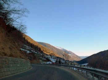
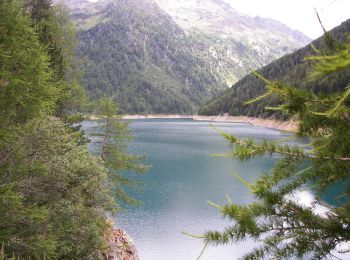
Vermiglio : découvrez les meilleures randonnées : 14 pédestres. Tous ces circuits, parcours, itinéraires et activités en plein air sont disponibles dans nos applications SityTrail pour smartphones et tablettes.
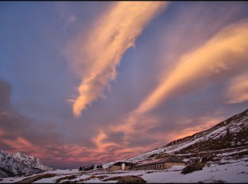
A pied


• Randonnée créée par Società degli Alpinisti Tridentini. Site web: http://www.sat.tn.it/
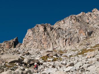
A pied
• Randonnée créée par Società degli Alpinisti Tridentini. Site web: http://www.sat.tn.it/
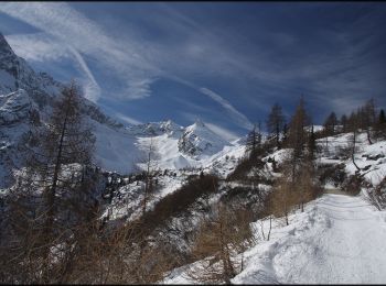
A pied
• Randonnée créée par Società degli Alpinisti Tridentini. Site web: http://www.sat.tn.it/
A pied
• Randonnée créée par Società degli Alpinisti Tridentini. Site web: http://www.sat.tn.it/
A pied
• Randonnée créée par Società degli Alpinisti Tridentini. Site web: http://www.sat.tn.it/
A pied
• Symbole: grünes "BTT" (für Biotopo Torbiera del Tonale) auf weißen Grund
A pied
• Randonnée créée par Società degli Alpinisti Tridentini. Site web: http://www.sat.tn.it/
A pied
• Randonnée créée par Società degli Alpinisti Tridentini. Site web: http://www.sat.tn.it/

A pied
• Randonnée créée par Società degli Alpinisti Tridentini. Site web: http://www.sat.tn.it/
A pied
• Randonnée créée par Società degli Alpinisti Tridentini. Site web: http://www.sat.tn.it/
A pied
• Randonnée créée par Società degli Alpinisti Tridentini. Site web: http://www.sat.tn.it/
A pied
• Randonnée créée par Società degli Alpinisti Tridentini. Site web: http://www.sat.tn.it/

A pied
• Randonnée créée par Società degli Alpinisti Tridentini. Site web: http://www.sat.tn.it/

Marche
14 randonnées affichées sur 14
Application GPS de randonnée GRATUITE
 SityTrail
IGN / Instituts géographiques
SityTrail World
Le monde est à vous