


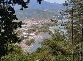
4,2 km | 9 km-effort
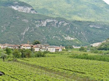
Arco : découvrez les meilleures randonnées : 19 pédestres et 9 à vélo ou VTT. Tous ces circuits, parcours, itinéraires et activités en plein air sont disponibles dans nos applications SityTrail pour smartphones et tablettes.
A pied


• Randonnée créée par Società degli Alpinisti Tridentini. Site web: http://www.sat.tn.it/

A pied
• Randonnée créée par Società degli Alpinisti Tridentini.
A pied
• Randonnée créée par Società degli Alpinisti Tridentini. Site web: http://www.sat.tn.it/
A pied
• Randonnée créée par Società degli Alpinisti Tridentini. Site web: http://www.sat.tn.it/
A pied
• Randonnée créée par Società degli Alpinisti Tridentini. Site web: http://www.sat.tn.it/
A pied
• Randonnée créée par Società degli Alpinisti Tridentini. Site web: http://www.sat.tn.it/
A pied
• Randonnée créée par Società degli Alpinisti Tridentini. Site web: http://www.sat.tn.it/
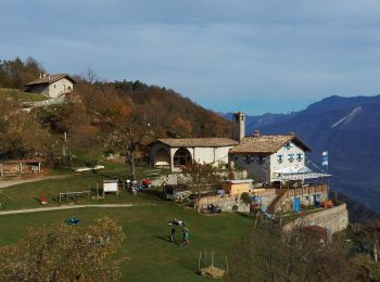
Marche
• visite chapelle Santa barbara
Marche
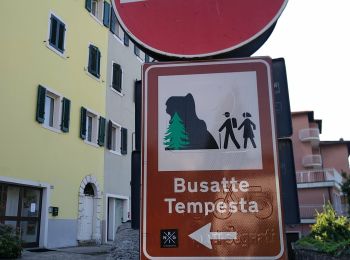
• chemin et route ...grande montée jusque Campedello. Après Campedello descente très difficile sur chemin très peu vis...
Marche
• Promenade des escaliers a flan de montage depuis le camping Maroadi

A pied
• Randonnée créée par Società degli Alpinisti Tridentini. Site web: http://www.sat.tn.it/
A pied
• Randonnée créée par Società degli Alpinisti Tridentini. Site web: http://www.sat.tn.it/
A pied
• Randonnée créée par Società degli Alpinisti Tridentini. Site web: http://www.sat.tn.it/
A pied
• Randonnée créée par Società degli Alpinisti Tridentini. Site web: http://www.sat.tn.it/
A pied
• Randonnée créée par Società degli Alpinisti Tridentini. Site web: http://www.sat.tn.it/
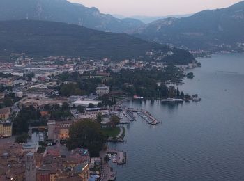
Marche
• circuit vers la chapelle Santa Barbara a Riva del Garda

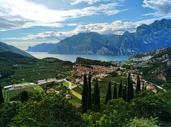
V.T.T.
• mixte bitume pierre , beaux paysages

V.T.T.
• vtt
Vélo de route
• route et piste cyclable
Vélo de route
• route
20 randonnées affichées sur 28
Application GPS de randonnée GRATUITE
 SityTrail
IGN / Instituts géographiques
SityTrail World
Le monde est à vous