


7,8 km | 12,4 km-effort
Ombrie : découvrez les meilleures randonnées : 281 pédestres et 3 à vélo ou VTT. Tous ces circuits, parcours, itinéraires et activités en plein air sont disponibles dans nos applications SityTrail pour smartphones et tablettes.
A pied


• Symbole: 374B on white red flags
A pied
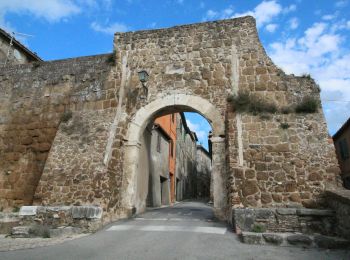
• Randonnée créée par Sistema Territoriale di Interesse Naturalistico Ambientale (S.T.I.N.A.).
A pied
• Randonnée créée par Sistema Territoriale di Interesse Naturalistico Ambientale (S.T.I.N.A.).
A pied
• Randonnée créée par CAI. Symbole: 170B on white red flag
A pied
• Randonnée créée par CAI. Symbole: 170A on white red flag
A pied
• Randonnée créée par CAI. Symbole: 170 on whitered flag
A pied
• Randonnée créée par Club Alpino Italiano. Symbole: 654 on white red flags
A pied
• Randonnée créée par Club Alpino Italiano. Symbole: 643 on white red flags
A pied
• Randonnée créée par Club Alpino Italiano. Symbole: 642 on white red flags
A pied
• Randonnée créée par Club Alpino Italiano. Symbole: 634 on white red flags
A pied
• Randonnée créée par CAI. Symbole: 623 on white red flags
A pied
• Randonnée créée par CAI. Symbole: 624 on white red flags
A pied
• Randonnée créée par CAI. Symbole: 627 on white red flags
A pied
• Randonnée créée par Club Alpino Italiano. Symbole: 659 on white red flags
A pied
• Randonnée créée par Club Alpino Italiano. relation route to be completed Symbole: 640 on white red flags
A pied
• Randonnée créée par Club Alpino Italiano. Symbole: 646 on white red flags
A pied
• Randonnée créée par Club Alpino Italiano. Symbole: 645 on white red flags
A pied
• Randonnée créée par Club Alpino Italiano. Symbole: 641 on white red flags
A pied
• Randonnée créée par Club Alpino Italiano. Symbole: 647 on white red flags
A pied
• Randonnée créée par Club Alpino Italiano. Symbole: 648 on white red flags
20 randonnées affichées sur 287
 SityTrail