


5,6 km | 7,5 km-effort
Israël : découvrez les 235 meilleurs circuits de randonnée pédestre ou à vélo. Notre catalogue préparé à la main par nos randonneurs regorge de superbes paysages qui n'attendent qu'à être explorés. Téléchargez ces itinéraires dans SityTrail, notre application de GPS de randonnée gratuite disponible sur Android et iOS.
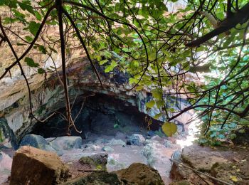
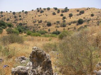
A pied


• Randonnée créée par itc.
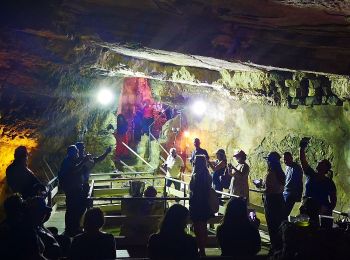
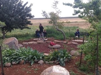
A pied
• Randonnée créée par itc.
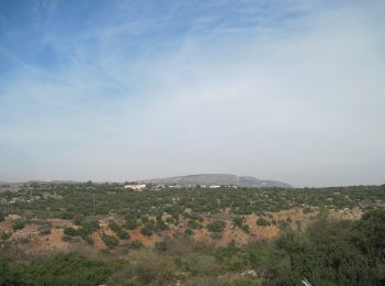
A pied
• Randonnée créée par itc.
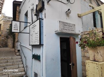
A pied
• Randonnée créée par rtg.
A pied
• Randonnée créée par itc.
A pied
• Randonnée créée par itc.
A pied
• Randonnée créée par itc.
A pied
• Randonnée créée par itc.
A pied
• Randonnée créée par itc. continues northeast - route uncertain
A pied
• Randonnée créée par Hadassah.
A pied
• Randonnée créée par itc.
A pied
• Randonnée créée par itc.
A pied
• Randonnée créée par itc.
A pied
• Randonnée créée par itc.
A pied
• Randonnée créée par itc.
A pied
• Randonnée créée par itc.
A pied
• Randonnée créée par itc.

A pied
• Randonnée créée par itc.

A pied
• Randonnée créée par itc.
A pied
• Randonnée créée par itc.
20 randonnées affichées sur 235
Application GPS de randonnée GRATUITE
 SityTrail
IGN / Instituts géographiques
SityTrail World
Le monde est à vous