Irlande : Les meilleures randonnées, itinéraires, parcours, balades et promenades

6 commentaires

Irlande : découvrez les 355 meilleurs circuits de randonnée pédestre ou à vélo. Notre catalogue préparé à la main par nos randonneurs regorge de superbes paysages qui n'attendent qu'à être explorés. Téléchargez ces itinéraires dans SityTrail, notre application de GPS de randonnée gratuite disponible sur Android et iOS.


Les meilleurs parcours (355)
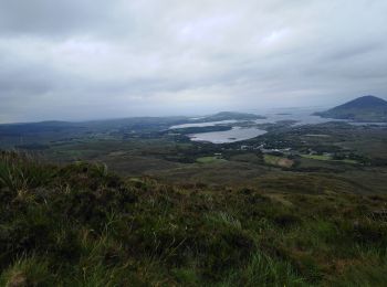
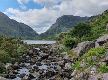
Randonnée Marche Conamara Municipal District - connemara national park - diamond hill - Photo
Marche 6.964
Km
GUIDE

Marche

Moyen
Conamara Municipal District, Inconnu, County Galway, Irlande
7 km | 11,8 km-effort
2h 9min
363 m
360 m
Oui
blechanteur

• Belle boucle qui donne vue splendide sur les lacs

Randonnée Marche Inconnu - Pheonix Park and the Memorial Garden - Photo
Marche 14.247
Km

Marche

Très facile
(1)
Inconnu, Inconnu, County Dublin, Irlande
14,2 km | 16,2 km-effort
3h 45min
148 m
135 m
Non
RVCrazy

Randonnée Marche Kenmare Municipal District - Parc National Killarney - Photo
Marche 27.64
Km

Marche

Très difficile
Kenmare Municipal District, Inconnu, County Kerry, Irlande
28 km | 32 km-effort
7h 10min
285 m
316 m
Non
Z14

• Randonnée à travers les paysage magnifiques du parc national de Killarney. Départ du Heather bus possible depuis Kill...
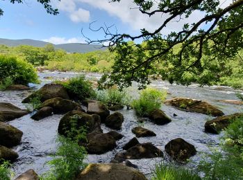
Randonnée Marche Kenmare Municipal District - Glencar - Glengeigh - Photo
Marche 16.129
Km

Marche

Très difficile
Kenmare Municipal District, Inconnu, County Kerry, Irlande
16,1 km | 24 km-effort
5h 20min
550 m
565 m
Non
Z14

• Magnifique randonnée à travers les paysages du comté de Kerry
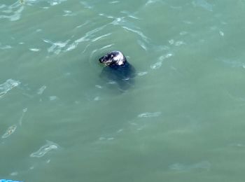
Randonnée Marche Inconnu - Ho Th - Photo
Marche 7.355
Km

Marche

Facile
Inconnu, Inconnu, Inconnu, Irlande
7,4 km | 9,3 km-effort
1h 39min
145 m
151 m
Non
Lobin

• Belle balade, tout d’abord en ville, puis sur sentier et ensuite sur chemin en bord de falaise. Si vous êtes attentif...
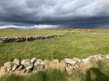
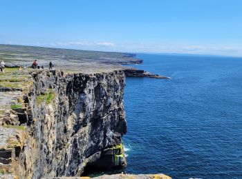
Randonnée Marche West Clare Municipal District - Cliffs of Moher - Photo
Marche 12.028
Km

Marche

Moyen
West Clare Municipal District, Inconnu, County Clare, Irlande
12 km | 21 km-effort
2h 52min
659 m
660 m
Oui
Lobin

• Départ du parking Liscannor walk (payant) en aller-retour vers le visiter centre et la tour.
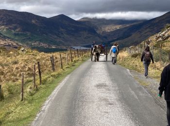
Randonnée Marche Kenmare Municipal District - Gap of Dunloe - Photo
Marche 11.149
Km

Marche

Moyen
Kenmare Municipal District, Inconnu, County Kerry, Irlande
11,1 km | 14,2 km-effort
2h 26min
222 m
256 m
Non
Lobin

• Il faut réserver la dépose en minibus au départ de la rando avec un Retour via les lacs. Le chemin est une route mais...
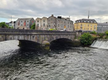
Randonnée Voiture Galway Municipal District - SityTrail - 3677165 - jx4-Total_1 - Photo
Voiture 149.709
Km

Voiture

Très facile
Galway Municipal District, Inconnu, County Galway, Irlande
150 km | 160 km-effort
Inconnu
770 m
769 m
Oui
force

• Tracé modifié manuellement

Randonnée Voiture Galway Municipal District - J-4_Irlande_27-05-2023 - Photo
Voiture 155.007
Km

Voiture

Très facile
Galway Municipal District, Inconnu, County Galway, Irlande
155 km | 166 km-effort
4h 16min
848 m
821 m
Non
force

• Reconstruction parcours pedestre
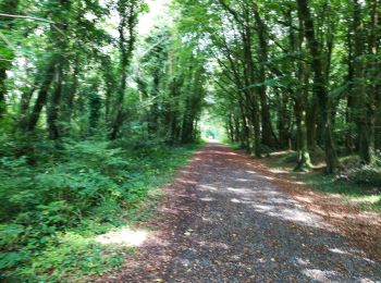
Randonnée Marche Conamara Municipal District - Ballykine loop  - Photo
Marche 7.22
Km

Marche

Très facile
Conamara Municipal District, Inconnu, County Galway, Irlande
7,2 km | 8,2 km-effort
1h 52min
77 m
78 m
Oui
M7184

• An Fhairche Parking aisé à côté de l'aire de jeu (Clonbur Wood car park), Aperçu de loin des ruines du Ballykine Cast...
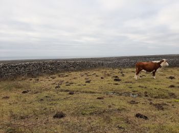
Randonnée Marche Conamara Municipal District - Tour 12 km à Inishmaer - Photo
Marche 12.075
Km

Marche

Très facile
Conamara Municipal District, Inconnu, County Galway, Irlande
12,1 km | 14,4 km-effort
4h 29min
173 m
175 m
Oui
mvrydagh

• plage, fort, falaise, murets, vaches, mer, ......
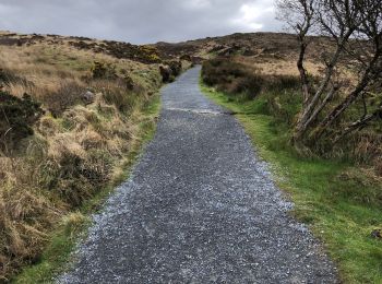
Randonnée Marche Conamara Municipal District - Connemara national park - Photo
Marche 7.258
Km

Marche

Difficile
Conamara Municipal District, Inconnu, County Galway, Irlande
7,3 km | 0 m-effort
2h 29min
0 m
0 m
Oui
domifon

• Exceptionnel

Randonnée Marche Manorhamilton Municipal District - The John Murray Show - Photo
Marche 8.533
Km

Marche

Facile
Manorhamilton Municipal District, Inconnu, County Leitrim, Irlande
8,5 km | 9,8 km-effort
2h 11min
98 m
99 m
Oui
mlmoroneybb

• A walk in Glenfarne, Co. Leitrim outside the Ballroom of Romance at 12 noon

Randonnée Marche The Municipal District of Cahir — Cashel - l diheen - Photo
Marche 16.332
Km

Marche

Difficile
The Municipal District of Cahir — Cashel, Inconnu, County Tipperary, Irlande
16,3 km | 32 km-effort
5h 46min
1194 m
1194 m
Oui
mlmoroneybb

• Hard walk

Randonnée Marche The Municipal District of Cahir — Cashel - Cahir Scaragh Wood Trail 2 - Photo
Marche 5.46
Km

Marche

Très facile
The Municipal District of Cahir — Cashel, Inconnu, County Tipperary, Irlande
5,5 km | 7,4 km-effort
1h 15min
145 m
144 m
Oui
johnkeating

Randonnée Marche The Municipal District of Cahir — Cashel - Cahir Scaragh Wood Trail 1 - Photo
Marche 4.62
Km

Marche

Très facile
The Municipal District of Cahir — Cashel, Inconnu, County Tipperary, Irlande
4,6 km | 5,9 km-effort
1h 0min
100 m
98 m
Oui
johnkeating

Randonnée Marche The Municipal District of Cahir — Cashel - Cahir Scaragh Wood Trail 3 - Photo
Marche 6.446
Km

Marche

Très facile
The Municipal District of Cahir — Cashel, Inconnu, County Tipperary, Irlande
6,4 km | 9,4 km-effort
1h 35min
220 m
225 m
Oui
johnkeating

• Park 50 metres from Mountain Road entrace to Scaragh Wood. Trail follows forest tracks upwards to open mountain. Rema...
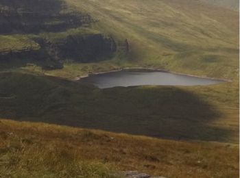
Randonnée Marche The Municipal District of Cahir — Cashel - Galtees - Lake Muskry Circuit - Photo
Marche 10.128
Km

Marche

Très facile
The Municipal District of Cahir — Cashel, Inconnu, County Tipperary, Irlande
10,1 km | 18,2 km-effort
3h 10min
620 m
549 m
Non
johnkeating

Randonnée Marche West Cork - toe head and cliffs - Photo
Marche 4.493
Km

Marche

Moyen
West Cork, Inconnu, County Cork, Irlande
4,5 km | 5,6 km-effort
1h 22min
84 m
86 m
Oui
Scoy

Randonnée Marche West Cork - dag Ierland  - Photo
Marche 12.625
Km

Marche

Difficile
West Cork, Inconnu, County Cork, Irlande
12,6 km | 21 km-effort
3h 24min
587 m
648 m
Non
Geert H.

20 randonnées affichées sur 355

Application GPS de randonnée GRATUITE

Logo SityTrail SityTrail

IGN / Instituts géographiques

Télécharger SityTrail sur l'App Store Télécharger SityTrail sur Google Play

Logo SityTrail SityTrail World

Le monde est à vous

Télécharger SityTrail sur l'App Store Télécharger SityTrail sur Google Play Télécharger SityTrail sur Huawei AppGallery

Activités

Régions proches

Fermer
Mes abonnements