


9,4 km | 17,7 km-effort
Comitat de Split-Dalmatie : découvrez les meilleures randonnées : 42 pédestres et 1 à vélo ou VTT. Tous ces circuits, parcours, itinéraires et activités en plein air sont disponibles dans nos applications SityTrail pour smartphones et tablettes.
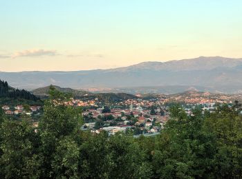
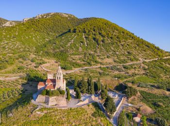
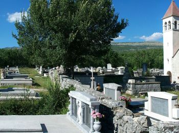
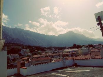
A pied


• Randonnée créée par PD Svilaja.

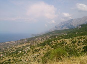
A pied

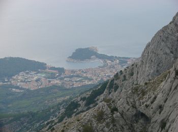
A pied
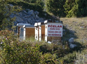
A pied
A pied
A pied
A pied
A pied
A pied
A pied

A pied
A pied
A pied
A pied
A pied
A pied
A pied
• Randonnée créée par PU Dinaridi. Ježević - Sutina - Kozja Jama - Velika Duvjakuša - Pl. dom Puma
A pied

A pied
• Randonnée créée par PD Svilaja.
A pied
• Randonnée créée par PD Svilaja.
20 randonnées affichées sur 45
Application GPS de randonnée GRATUITE
 SityTrail
IGN / Instituts géographiques
SityTrail World
Le monde est à vous