


25 km | 36 km-effort
Somerset : découvrez les meilleures randonnées : 19 pédestres. Tous ces circuits, parcours, itinéraires et activités en plein air sont disponibles dans nos applications SityTrail pour smartphones et tablettes.
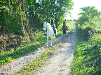
A pied


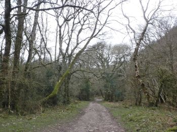
• Randonnée créée par National Trust. Part two of a two-day walk on the Holnicote Estate.
A pied
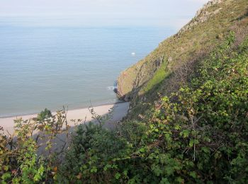
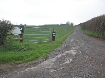
• Randonnée créée par National Trust.
A pied
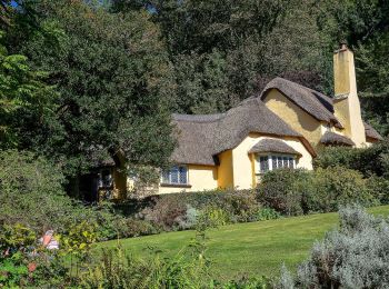
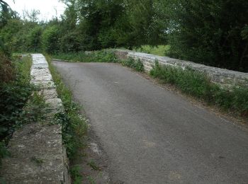
• Randonnée créée par National Trust.
A pied
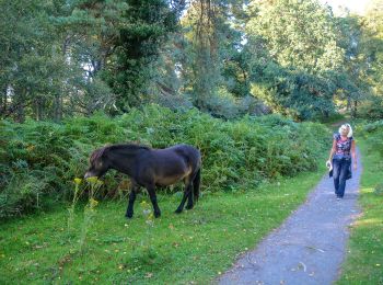
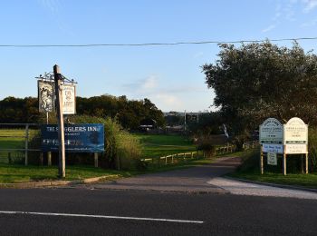
• Randonnée créée par National Trust.
A pied
A pied
A pied

A pied
A pied
A pied
A pied
A pied
A pied

Marche
Marche
Marche
Marche
Marche
Marche
19 randonnées affichées sur 19
Application GPS de randonnée GRATUITE
 SityTrail
IGN / Instituts géographiques
SityTrail World
Le monde est à vous