


32 km | 43 km-effort
Ceredigion : découvrez les meilleures randonnées : 6 pédestres. Tous ces circuits, parcours, itinéraires et activités en plein air sont disponibles dans nos applications SityTrail pour smartphones et tablettes.

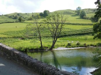
Marche


• Il fait beau pourvu k'ca dourre.
Marche
• Il fait beau pourvu k'ca dourre.
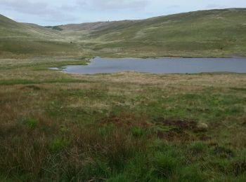
Marche
• Il y a beaucoup de photos que je n'arrive pas à enregistrer

Marche
• Il y a beaucoup de photos que je n'arrive pas à enregistrer

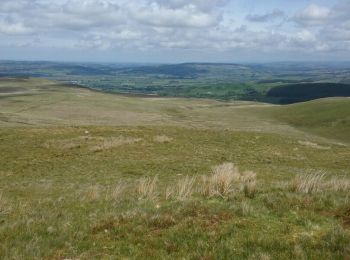
Marche
• Petite étape mais bien fatigante
Marche
• Petite étape mais bien fatigante
6 randonnées affichées sur 6
Application GPS de randonnée GRATUITE
 SityTrail
IGN / Instituts géographiques
SityTrail World
Le monde est à vous