


10,6 km | 19 km-effort
Ota : découvrez les meilleures randonnées : 43 pédestres et 13 à vélo ou VTT. Tous ces circuits, parcours, itinéraires et activités en plein air sont disponibles dans nos applications SityTrail pour smartphones et tablettes.
Marche


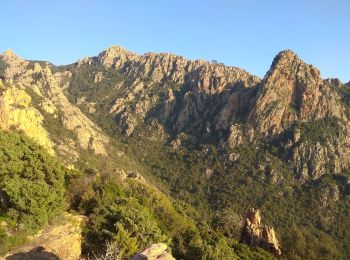
• Rando pour randonneur averti
Marche
•
Marche
• un pose restauration a Evisa s impose avant de continuer vers le gite
A pied
Marche
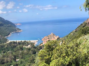
• Un beau parcours pour admirer Porto
Marche
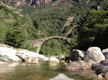
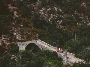
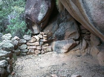
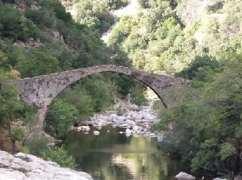
• passage à gué
Marche
• Corniche de Porto boucle par Ghineparu
Marche
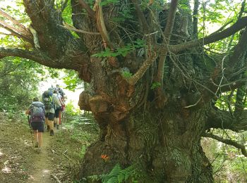
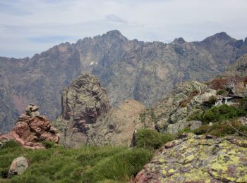
• Ce trek relie Ota (près de Porto) à Barghiana (près de Galeria) en empruntant un itinéraire très original dans une de...
Marche
• Vous recherchez une balade un peu longue sur de bon sentiers balisés dans le secteur de Porto ? Vous penserez sans do...
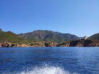
Bateau à moteur

Marche
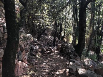
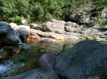
• Chemin ombragé le long de la rivière. Les roches et rochers forme un escalier. Assez facile mais des bonnes chaussure...
Marche
Vélo
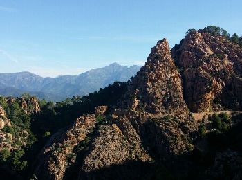
• route des calanches de piana
Marche
• Mare e Monti - De Ota à Marignana. Étape 8 Vous trouverez le descriptif détaillé de cette randonnée dans le Topo-guid...

Marche
• petite rando au fond des gorges
Marche
• Balade très facile, bien ombragée, pentes globalement sans problème. Un plaisir.
Marche

Autre activité
• VOYAGE PORTO AJACCIO
Marche
• C'est un AR mais peut être à faire dans l 'autre sens pour faire juste en descente et en plaçant donc les voitures en...
Marche
20 randonnées affichées sur 67
Application GPS de randonnée GRATUITE
 SityTrail
IGN / Instituts géographiques
SityTrail World
Le monde est à vous