


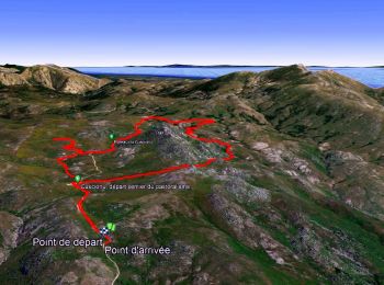
1,3 km | 3,8 km-effort
Quenza : découvrez les meilleures randonnées : 111 pédestres et 3 à vélo ou VTT. Tous ces circuits, parcours, itinéraires et activités en plein air sont disponibles dans nos applications SityTrail pour smartphones et tablettes.
Marche


• rando tour de bavella
Marche

Marche
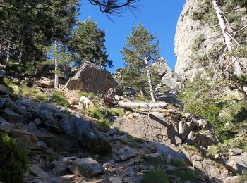
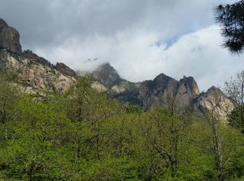
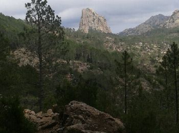
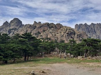
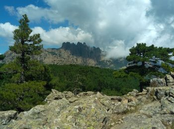
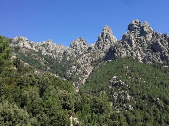
• Grand classique et balade incontournable du Sud de l'île! Au col de l'Oiseau, la brèche devant la Punta di l'Acellu, ...
Marche
Marche
Marche
• Asinau-Paliri
Marche

Marche
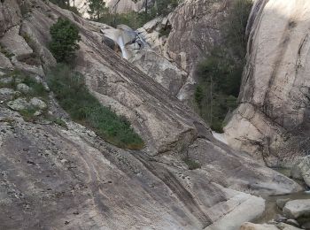
• Escalade sur la fin
Marche
• Escalade sur la fin
Marche
V.T.T.
• Raid VTT en Corse – Quenza à Ghisoni Peut-être la plus belle étape s'il avait fait beau ce jour là. Beaucoup de piste...
Marche
Marche
Marche
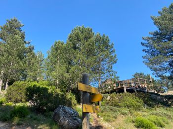
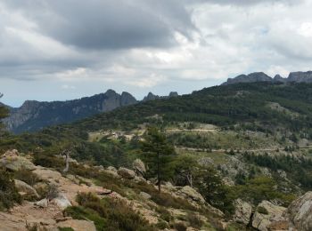
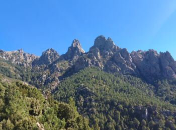
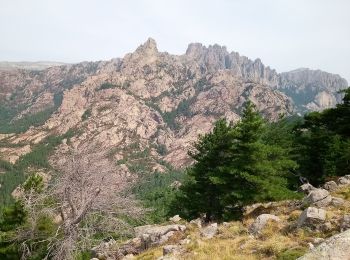
• Boucle depuis le col de Bavella. Sentier balisé en vert à la montée et en jaune pour le retour. Très raide. Très bea...
Marche
Marche
Marche
Marche
Marche
Marche
20 randonnées affichées sur 122
Application GPS de randonnée GRATUITE
 SityTrail
IGN / Instituts géographiques
SityTrail World
Le monde est à vous